Grain Pole Hill
| Grain Pole Hill | |
|---|---|
 Grain Pole Hill Shown within Lancashire 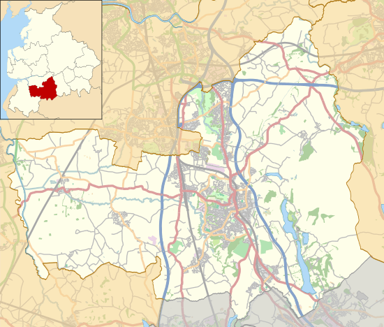 Grain Pole Hill Shown within Chorley Borough | |
| Highest point | |
| Elevation | 285 m (935 ft) |
| Geography | |
| Location |
Chorley, Lancashire, |
| OS grid | SD624180 |
| Topo map | OS Landranger 109 |
Grain Pole Hill is a location on Anglezarke Moor, within the West Pennine Moors of Lancashire, England. Despite a modest height of 285 metres (935 ft), the summit provides excellent views towards the Irish Sea. It is located between Round Loaf and Pikestones, both of which are Neolithic remnants. Hurst Hill is less than half a mile away.
It is uncertain as to when the hill gained its name.
Notes and references
External links
This article is issued from
Wikipedia.
The text is licensed under Creative Commons - Attribution - Sharealike.
Additional terms may apply for the media files.