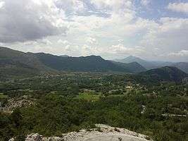
Gornji Orahovac
| Gornji Orovac | |
|---|---|
| Village | |
 | |
 Gornji Orovac | |
| Coordinates: 42°40′13″N 18°29′45″E / 42.67028°N 18.49583°E | |
| Country | Bosnia and Herzegovina |
| Entity | Republika Srpska |
| Municipality | Trebinje |
| Area | |
| • Total | 1.4 sq mi (3.5 km2) |
| Elevation | 2,100 ft (640 m) |
| Time zone | UTC+1 (CET) |
| • Summer (DST) | UTC+2 (CEST) |
| Postal code | 89208 |
| Area code(s) | +387 59 |
Gornji Orovac (Serbian Cyrillic: Горњи Оровац) is a village in the municipality of Trebinje, Republika Srpska, Bosnia and Herzegovina.[1]
References
- ↑ Official results from the book: Ethnic composition of Bosnia-Herzegovina population, by municipalities and settlements, 1991. census, Zavod za statistiku Bosne i Hercegovine - Bilten no.234, Sarajevo 1991.
Coordinates: 42°40′47″N 18°29′00″E / 42.67972°N 18.48333°E
This article is issued from
Wikipedia.
The text is licensed under Creative Commons - Attribution - Sharealike.
Additional terms may apply for the media files.