Gormandale, Victoria
| Gormandale Victoria | |||||||||||||||
|---|---|---|---|---|---|---|---|---|---|---|---|---|---|---|---|
 Gormandale | |||||||||||||||
| Coordinates | 38°16′S 146°42′E / 38.27°S 146.70°ECoordinates: 38°16′S 146°42′E / 38.27°S 146.70°E | ||||||||||||||
| Population | 321 (2016 census)[1] | ||||||||||||||
| Postcode(s) | 3873 | ||||||||||||||
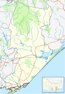
| Location | |||||||||||||||
| LGA(s) | Shire of Wellington | ||||||||||||||
| Federal Division(s) | Gippsland | ||||||||||||||
| |||||||||||||||
Gormandale is a small town in eastern Victoria, Australia. Gormandale is situated between Yarram and Traralgon. Gormandale is a popular place to visit for those travelling on the Strzelecki Trail. The 2016 ABS Census recorded 321 people in the Gormandale district, with a median age of 46.[1] Dairy farming is the biggest employer, followed by beef cattle and alpaca farming, building and other industrial cleaning services, nursery production and the general store.[1]
References
- 1 2 3 "2016 Census QuickStats Gormandale". Australian Bureau of Statistics. Retrieved 5 May 2018.
External links
This article is issued from
Wikipedia.
The text is licensed under Creative Commons - Attribution - Sharealike.
Additional terms may apply for the media files.