Gitarama Province
Gitarama was one of the former twelve provinces (intara) of Rwanda and was situated in the centre of the country, to the west of the capital Kigali.
It had an area of 2,187 square kilometres and a population of some 851,451 (2002 figures) prior to its dissolution in January 2006.
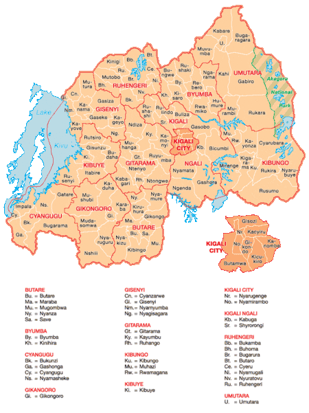
Gitarama was divided into 8 districts: Muhanga, Kayumbu, Kabagali, Ntenyo, Kamonyi, Ntongwe, Ndiza and Ruyumba; and two towns: Ruhango and Gitarama. Gitarama bordered the provinces Butare, Gikongoro, Kibuye, Gisenyi, Ruhengeri, Kigali-Ngali and Kigali City
Tourist attractions included the Kamegeri rocks and the Busaga forest.
Gitarama Prefecture was created in 1959, increasing the number of prefectures of Rwanda from eight to nine. In 2002, it was renamed a province, as were the other prefectures of Rwanda.[1]
Taken from "Killing Neighbors" by Lee Ann Fujii:
The Gitarama region was the founding place of Grégoire Kayibanda's Parmehutu, the party founded by Rwanda's first president. This region and the political elites involved, were also the source of much tension between the capital province of Kigali in the north, and the central and south province of Gitarama. This tension eventually played a role in the conflicts behind the Rwandan genocide. Page 48
References
- ↑ "Provinces of Rwanda". Statoids. Gwillim Law. 27 April 2010. Retrieved 17 May 2011.