Gikongoro Province
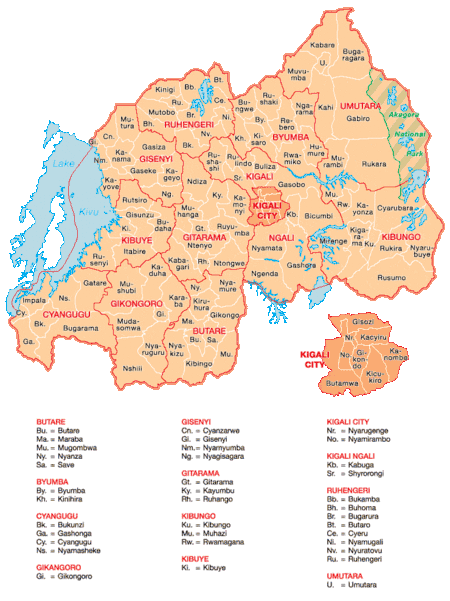
Map showing the former provinces of Rwanda
Gikongoro Province was one of the former twelve provinces (intara) of Rwanda and is situated in the southwest of the country. The former province had an area of some 2,146 square kilometers and its population was estimated at 467,300 (2002 figures) prior to its dissolution in January 2006.
External links
This article is issued from
Wikipedia.
The text is licensed under Creative Commons - Attribution - Sharealike.
Additional terms may apply for the media files.