Gisenyi Airport
| Gisenyi Airport | |||||||||||
|---|---|---|---|---|---|---|---|---|---|---|---|
| Summary | |||||||||||
| Airport type | Public, Civilian | ||||||||||
| Owner | Rwanda Civil Aviation Authority | ||||||||||
| Serves | Gisenyi, Rwanda | ||||||||||
| Location |
Gisenyi, | ||||||||||
| Elevation AMSL | 5,082 ft / 1,549 m | ||||||||||
| Coordinates | 01°40′48″S 29°15′30″E / 1.68000°S 29.25833°E | ||||||||||
| Map | |||||||||||
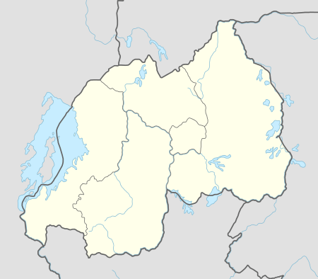 HRYG Location of Gisenyi Airport in Rwanda Placement on map is approximate | |||||||||||
| Runways | |||||||||||
| |||||||||||
Gisenyi Airport is an airport in Rwanda.
Location
Gisenyi Airport (IATA: GYI, ICAO: HRYG), is located in Rwanda's Western Province, in Rubavu District, in the town of Gisenyi, at the International border with the Democratic Republic of the Congo. This location lies approximately 94 kilometres (58 mi), by air, northwest of Kigali International Airport, currently, the country’s largest civilian airport.[1] The geographic coordinates of this airport are:1° 40' 48.00"S, 29° 15' 30.00"E (Latitude:-1.680000; Longitude:29.258334).
Overview
Gisenyi Airport is a medium-sized airport that serves the town of Gisenyi and the neighboring city of Goma, across the border in the Democratic Republic of the Congo. The two neighboring cities are also served by Goma Airport, which is very near the border with Rwanda - similar to Tijuana International Airport and Brown Field Municipal Airport which are separated by the United States - Mexico Border. Gisenyi Airport is one of the eight (8) public civilian airports under the administration of the Rwanda Civil Aviation Authority. Gisenyi Airport is situated at an altitude of 5,082 feet (1,549 m) above sea level.[2] The airport has a single asphalt runway that measures 3,330 feet (1,010 m) long and 75 feet (23 m) wide.[3]
Airlines and destinations
RwandAir, the national carrier, operated a three weekly service between Gisenyi Airport and Kigali International Airport. However, as of June 2013 they no longer do so.[4]
External links
See also
References
- ↑ "Distance between Gisenyi (Gisenyi) and Kigali (Kigali) (Rwanda)". distancecalculator.globefeed.com. Retrieved 2018-08-21.
- ↑ "Wolfram|Alpha: Making the world's knowledge computable". www.wolframalpha.com. Retrieved 2018-08-21.
- ↑ "GYI - Gisenyi [Gisenyi Airport], 04, RW - Airport - Great Circle Mapper". www.gcmap.com. Retrieved 2018-08-21.
- ↑ "Rwandair Flights Schedule". Rwandair. Archived from the original on 6 June 2013. Retrieved 20 June 2013.
Coordinates: 1°40′48″S 29°15′30″E / 1.680000°S 29.258334°E