Butare Airport
| Butare Airport | |||||||||||
|---|---|---|---|---|---|---|---|---|---|---|---|
| Summary | |||||||||||
| Airport type | Public | ||||||||||
| Owner | Rwanda Civil Aviation Authority | ||||||||||
| Serves | Butare, Rwanda | ||||||||||
| Location |
Butare, | ||||||||||
| Elevation AMSL | 5,801 ft / 1,768 m | ||||||||||
| Coordinates | 02°35′42″S 29°44′24″E / 2.59500°S 29.74000°ECoordinates: 02°35′42″S 29°44′24″E / 2.59500°S 29.74000°E | ||||||||||
| Map | |||||||||||
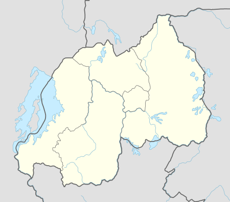 Butare Location of Butare Airport in Rwanda Placement on map is approximate | |||||||||||
| Runways | |||||||||||
| |||||||||||
Butare Airport is an airport in Rwanda.
Location
Butare Airport (IATA: BTQ, ICAO: HRYI), is located in the city of Butare, in Huye District, Southern Province. Its location lies approximately 80 kilometres (50 mi), by air, southwest of Kigali International Airport, the country’s largest civilian airport.[1] The geographic coordinates of this airport are:2° 35' 42.00"S, 29° 44' 24.00"E (Latitude:-2.59500; Longitude:29.74000).
Overview
Butare Airport is a small civilian airport that serves the town of Butare. It is one of the eight (8) airports that are administered by the Rwanda Civil Aviation Authority.[2] Butare Airport is situated 1,768 metres (5,801 ft) above sea level.[3] The airport has a single paved runway, which measures approximately 860 metres (2,820 ft) in length.[4]
External links
See also
References
- ↑ "Distance between Butare (Butare) and Kigali (Kigali) (Rwanda)". distancecalculator.globefeed.com. Retrieved 2018-08-21.
- ↑ Butare Airport Administered by the Rwanda Civil Aviation Authority
- ↑ Elevation of Butare Airport
- ↑ Dimensions of Runway At Butare Airport
Template:Huye District