Gajeva planina
| Gajeva planina | |
|---|---|
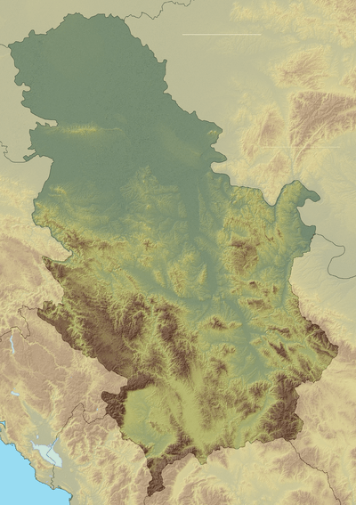 Gajeva planina Location in Serbia, on the border with Bosnia and Herzegovina | |
| Highest point | |
| Elevation | 1,280 m (4,200 ft) [1] |
| Coordinates | 43°35′25″N 19°19′56″E / 43.59028°N 19.33222°ECoordinates: 43°35′25″N 19°19′56″E / 43.59028°N 19.33222°E |
| Geography | |
| Location | Serbia / Bosnia and Herzegovina |
Gajeva planina[1] (Serbian Cyrillic: Гајева планина) is a mountain on the border of Serbia and Bosnia and Herzegovina, between towns of Priboj and Rudo. Its highest peak Timor has an elevation of 1,280 m (4,199 ft) above sea level.
References
- 1 2 Jovan Đokić. "Katalog planina Srbije". PSD Kopaonik Beograd. Archived from the original on 2011-05-18.
This article is issued from
Wikipedia.
The text is licensed under Creative Commons - Attribution - Sharealike.
Additional terms may apply for the media files.