Gachsaran County
| Gachsaran County شهرستان گچساران | |
|---|---|
| County | |
|
| |
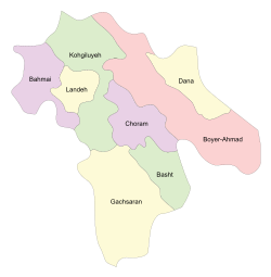 Counties of Kohgiluyeh and Boyer-Ahmad Province | |
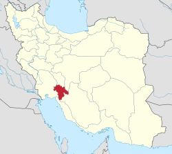 Location of Kohgiluyeh and Boyer-Ahmad Province in Iran | |
| Coordinates: 30°20′N 50°45′E / 30.333°N 50.750°ECoordinates: 30°20′N 50°45′E / 30.333°N 50.750°E | |
| Country |
|
| Province | Kohgiluyeh and Boyer-Ahmad Province |
| Capital | Dogonbadan |
| Bakhsh (Districts) | Central District |
| Population (2006) | |
| • Total | 131,628 |
| Time zone | UTC+3:30 (IRST) |
| • Summer (DST) | UTC+4:30 (IRDT) |
| Gachsaran County can be found at GEOnet Names Server, at this link, by opening the Advanced Search box, entering "9206922" in the "Unique Feature Id" form, and clicking on "Search Database". | |
Gachsaran County (Persian: شهرستان گچساران, Persian pronunciation: [ɡatʃsɒːrɒːn] is a county in Kohgiluyeh and Boyer-Ahmad Province in Iran between Shiraz and Ahvaz. The capital of the county is Dogonbadan. At the 2006 census, the county's population (including portions that were split off to form Basht County) was 131,628, in 28,551 families, excluding those portions, the population was 109,458, in 24,242 families.[1]
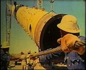
This county is known as Iran's oil roof because of highest oil tower that exist in this county (Seghalatoun, 3221 feet above sea level) one of the most important and richest areas but more unknown in Iran because of its oil and gas products and it has the second largest (Ahvaz has the first) oil fields of Iran in this county. This county is one of main hearts of energy resources in the world. More than one-quarter of the oil of Iran is exported to all over the world from this county.. This Country is one of the special economic zone of Iran
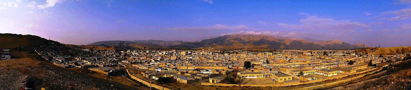
History of capital
This city was named Gonbade malghan or Gonbade maljan in the past and now Dogonbadan and Gachsaran. There were two domes, one to the west and one to the east of the city, so the city was called Do gonbadan "between two domes". The city was rebuilt by British staff of the Darcy oil company about 1927. It is reported that this area was also populated with some British residents who owned houses and vast lands not far from the outskirts of the city.
Gachsaran Oil & Gas Production
The Gachsaran Oil & Gas producing company with a distinct geographical situation stretches over provinces of Kohgiluyeh and Boyer-Ahmad Province, Fars, Busher, Khuzistan and Isfahan. Total production from about 320 wells is 750,000 bd. The main wells have been drilled at reservoirs of Gach Saran, Bibi Hakimeh, Rag-e-Safid, Pazanan, Gulkhari, Binak, Chilingar, Nargesi, Garangan, Kilur Karim, Sulabedar, Siahmakan, Khaviz, Rudak, Zaaeh, Chahr Bisheh and Kuh-e-kaki.
Out of these regions Gachsaran Reservoir with 500,000 bd and Siahmakan with 4000bd have the highest and lowest production rates respectively.
Gachsaran and Dogonbadan as names of a city are in fact referring to the same place, as the city has two names.
Economy
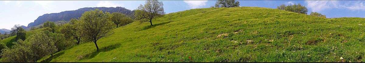
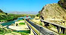
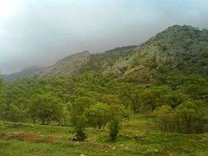
Gachsaran is an oil and gas producing area that has just started to expand and profits from its industrial capacity. Gachsaran has the largest gas reserves in Iran also has the largest recoverable oil field in Iran and third in the world[2] and has good various medicinal plants, citrus and olive. This city has good weather in middle and end of winter also has nice mountains for climbing around the city so it is perfect destination for climbing in fall, winter and beginning of spring. This city has good water resources and there are two big dams near the city which export water to other cities. .
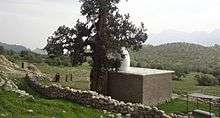
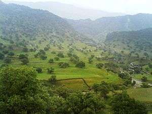
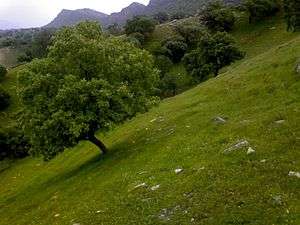
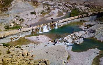
Gallery

References
- ↑ "Census of the Islamic Republic of Iran, 1385 (2006)". Islamic Republic of Iran. Archived from the original (Excel) on 2011-11-11.
- ↑ "Extraction of Crude Petroleum in Iran-Overview". mbendi.com. 2010. Retrieved 2013-06-01.
- اطلس گیتاشناسی استانهای ایران [Atlas Gitashenasi Ostanhai Iran] (Gitashenasi Province Atlas of Iran)
External links
| Wikimedia Commons has media related to Gachsaran county. |
| Capital |  | ||||||||||||||||
|---|---|---|---|---|---|---|---|---|---|---|---|---|---|---|---|---|---|
| Counties and cities |
| ||||||||||||||||
| Sights |
| ||||||||||||||||
| populated places | |||||||||||||||||