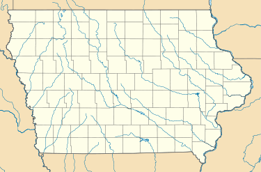
Fredsville, Iowa
| Fredsville, Iowa | |
|---|---|
| Unincorporated community | |
 Fredsville, Iowa | |
| Coordinates: Coordinates: 42°29′03″N 92°34′27″W / 42.48417°N 92.57417°W | |
| Country |
|
| State |
|
| County | Grundy County |
| Elevation | 309 m (1,014 ft) |
| Time zone | UTC-6 (Central (CST)) |
| • Summer (DST) | UTC-5 (CDT) |
| GNIS feature ID | 456755 |
The town of Fredsville, Iowa began when Danish settlers came to the highest area in Grundy County, Iowa, in the mid-1800s. Although small, the town had a creamery.[1]
In 1871, the Fredsville settlers organized a Lutheran church congregation. At the time, they called it Fairfield Scandinavian Lutheran Congregation.[2] The name befit the town's location in Fairfield township of Grundy County.[3] However, it has been renamed to Fredsville Evangelical Lutheran Church, which continues to be an active congregation of the Evangelical Lutheran Church in America.[4]
Although the town of Fredsville, Iowa, still appears when searched on Google Maps,[5] the town is no longer an incorporated location.
References
- ↑ Legislative Documents Submitted to the Twenty-Sixth General Assembly of the State of Iowa, Vol. III. Des Moines, IA: F. R. Conway. 1896. p. 91. Retrieved 16 April 2016.
- ↑ "Our History". Fredsville Lutheran Church. Fredsville Lutheran Church. Retrieved 16 April 2016.
- ↑ Hixson, W.W. (1930). Plat book of Grundy County, Iowa. Rockford, IL: W.W. Hixson & Co. Retrieved 16 April 2016.
- ↑ "Fredsville Lutheran Church | Our History". Fredsville Lutheran Church. Retrieved 16 April 2016.
- ↑ "Google Maps". Google Maps | Fredsville. Google. Retrieved 16 April 2016.
This article is issued from
Wikipedia.
The text is licensed under Creative Commons - Attribution - Sharealike.
Additional terms may apply for the media files.