Frank, North Carolina
| Frank | |
|---|---|
| Unincorporated community | |
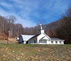 A church in Frank | |
 Frank Location within the state of North Carolina | |
| Coordinates: 36°04′14″N 82°00′09″W / 36.07056°N 82.00250°WCoordinates: 36°04′14″N 82°00′09″W / 36.07056°N 82.00250°W | |
| Country | United States |
| State | North Carolina |
| County | Avery County |
| Elevation | 2,982 ft (909 m) |
| Time zone | UTC-5 (Eastern (EST)) |
| • Summer (DST) | UTC-4 (EDT) |
| ZIP code | 28657 |
| Area code(s) | 828 |
| GNIS feature ID | 1020351[1] |
Frank is an unincorporated community in Avery County, North Carolina, United States. The community is located along US 19-E, between the communities of Minneapolis and Roaring Creek.
See also
References
Municipalities and communities of Avery County, North Carolina, United States | ||
|---|---|---|
| Towns |  | |
| Villages | ||
| Unincorporated communities | ||
| Footnotes | ‡This populated place also has portions in an adjacent county or counties | |
This article is issued from
Wikipedia.
The text is licensed under Creative Commons - Attribution - Sharealike.
Additional terms may apply for the media files.