Fournier Bay
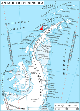
Fournier Bay (64°31′S 63°6′W / 64.517°S 63.100°WCoordinates: 64°31′S 63°6′W / 64.517°S 63.100°W) is a bay 8 nautical miles (15 km) long and 3 nautical miles (6 km) wide, indenting the northeast coast of Anvers Island immediately west of Briggs Peninsula and south of Dralfa Point, in the Palmer Archipelago, Antarctica. Its head is fed by Rhesus, Thamyris, Kleptuza and Altimir Glaciers.
The bay was probably first seen by a German expedition, 1873–74, under Eduard Dallmann. It was charted by the French Antarctic Expedition, 1903–05, under Jean-Baptiste Charcot, and named by him for Vice Admiral Ernest Fournier of the French Navy.[1]
References
- ↑ "Fournier Bay". Geographic Names Information System. United States Geological Survey. Retrieved 2012-04-04.
![]()