Ford, Wiltshire
| Ford | |
|---|---|
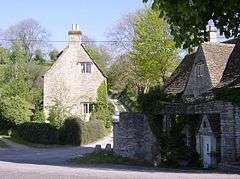 Cottages in Ford | |
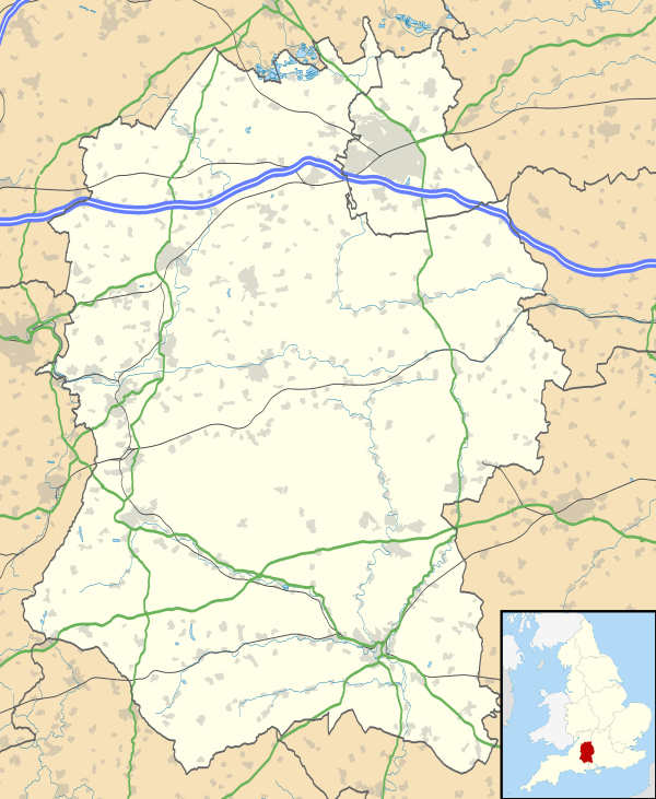 Ford Ford shown within Wiltshire | |
| OS grid reference | ST841748 |
| Civil parish | |
| Unitary authority | |
| Ceremonial county | |
| Region | |
| Country | England |
| Sovereign state | United Kingdom |
| Post town | Chippenham |
| Postcode district | SN14 |
| Dialling code | 01249 |
| Police | Wiltshire |
| Fire | Dorset and Wiltshire |
| Ambulance | South Western |
| EU Parliament | South West England |
| UK Parliament | |
Ford is a small village located in the northwest of Wiltshire, England. It had a population of 580 in the 2001 census. The village is situated along the A420 road, 11 miles east of Bristol and 4 miles west of Chippenham.
Ford is the second largest village in the civil parish of North Wraxall,[1] a collection of five settlements which includes Upper Wraxall, North Wraxall, The Shoe (also on the A420) and Mountain Bower. There is a pub called the White Hart, but no other shops.
The Bybrook River flows through the village.
A church of St John was designed by C.E. Ponting in 1896 and converted into a residence in 2001.[2]
References
- ↑ "Wiltshire Community History". Wiltshire Council. Retrieved 8 March 2013.
- ↑ "Church of St. John, Ford, North Wraxall". Wiltshire Community History. Wiltshire Council. Retrieved 19 March 2015.
External links
![]()
This article is issued from
Wikipedia.
The text is licensed under Creative Commons - Attribution - Sharealike.
Additional terms may apply for the media files.