Ezuriko Kofun Cluster
| 江釣子古墳群 | |
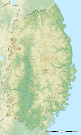 Ezuriko Kofun Cluster  Ezuriko Kofun Cluster (Japan) | |
| Location | Kitakami, Iwate, Japan |
|---|---|
| Region | Tōhoku region |
| Coordinates | 39°17′29″N 141°04′56″E / 39.29139°N 141.08222°E |
| Altitude | 70 m (230 ft) |
| Type | kofun cluster |
| History | |
| Founded | 7th to 8th century AD |
| Site notes | |
| Ownership | National Historic Site |
| Public access | Yes |
Ezuriko Kofun Cluster (江釣子古墳群 Ezuriko kofun-gun) is the designation given to a National Historic Site in Kitakami, Iwate, in the Tōhoku region of northern Japan consisting of four separate sets of late Kofun period burial mounds near the confluence of the Waga River with the Kitakami River.
Located on a river terrace at an altitude of 70–90 meters, the site consists of the Nekoyazu and Naganuma sites (29 tombs), Gojōmaru site (81 tombs), and Yahata site (23 tombs), with a total of some 120 burial mounds. The kofun are circular in shape, with a diameter of 4.5 to 16 meters and an average height of 0.4 to 0.7 meters. Archaeological excavations were conducted in 1954 by Waseda University on a portion of the site, and identified the kofun as being from the late 7th through early 8th centuries. Further investigation was performed by Tōhoku University in 1965. The kofun contained stone chambers made from piled rounded river stones, the largest of which was 5 meters in length, witha central trench to hold the sarcophagus. In the Gojōmaru district, the one tomb was found to contain four chambers. Grave goods included remnants of bladed instruments (swords, daggers, agricultural implements), jewelry (magatama beads, cylindrical beads, glass beads, etc.), horse fittings, and earthenware pottery. The site received protection as a National Historical Site in 1979.[1]
See also
References
External links
- Kitakami city home page (in Japanese)
- Kitakami tourism home page (in Japanese)