Evart Municipal Airport
| Evart Municipal Airport | |||||||||||
|---|---|---|---|---|---|---|---|---|---|---|---|
| Summary | |||||||||||
| Airport type | Public | ||||||||||
| Operator | City of Evart, Michigan | ||||||||||
| Location | Evart, Michigan | ||||||||||
| Elevation AMSL | 1,018 ft / 310 m | ||||||||||
| Coordinates | 43°53′45.069″N 85°16′45.15″W / 43.89585250°N 85.2792083°WCoordinates: 43°53′45.069″N 85°16′45.15″W / 43.89585250°N 85.2792083°W | ||||||||||
| Map | |||||||||||
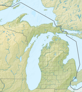 9C8 Location of airport in Michigan  9C8 9C8 (the US) | |||||||||||
| Runways | |||||||||||
| |||||||||||
Evart Municipal Airport (ICAO: K9C8, FAA LID: 9C8) is a public airport located 1 mile (2 km) west of Evart in Osceola County, Michigan, USA. It is included in the Federal Aviation Administration (FAA) National Plan of Integrated Airport Systems for 2017–2021, in which it is categorized as a general aviation facility.[1]
Facilities
The airport is unattended.
Runways
- Runway 6/24: 4,185 x 75 ft. (1,275 x 23 m), Surface: Asphalt
Transit
- The airport is accessible by road from US-10.
References
- ↑ "List of NPIAS Airports" (PDF). FAA.gov. Federal Aviation Administration. 21 October 2016. Retrieved 25 November 2016.
External links
- "Michigan Airport Directory - 9C8" (PDF). (55.9 KiB)
- Resources for this airport:
- FAA airport information for 9C8
- AirNav airport information for 9C8
- FlightAware airport information and live flight tracker
- SkyVector aeronautical chart for 9C8
This article is issued from
Wikipedia.
The text is licensed under Creative Commons - Attribution - Sharealike.
Additional terms may apply for the media files.