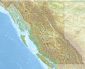
Enid Creek Cone
| Enid Creek Cone | |
|---|---|
 Enid Creek Cone | |
| Highest point | |
| Coordinates | 58°23′N 129°31′W / 58.38°N 129.52°WCoordinates: 58°23′N 129°31′W / 58.38°N 129.52°W |
| Geography | |
| Location | British Columbia, Canada |
| Geology | |
| Age of rock | Pleistocene |
| Mountain type | Subglacial mound |
| Volcanic arc/belt | Stikine volcanic belt |
Enid Creek Cone is a subglacial mound in northwestern British Columbia, Canada, located in the Dark Mountain area. It last erupted during the Pleistocene epoch.[1]
See also
References
This article is issued from
Wikipedia.
The text is licensed under Creative Commons - Attribution - Sharealike.
Additional terms may apply for the media files.