English River (Ontario)
| English River | |
| Country | Canada |
|---|---|
| Province | Ontario |
| Region | Northwestern Ontario |
| Districts | Kenora, Thunder Bay |
| Part of | Hudson Bay drainage basin |
| Source | Unnamed lake |
| - elevation | 502 m (1,647 ft) |
| - coordinates | 49°13′22″N 90°46′48″W / 49.22278°N 90.78000°W |
| Mouth | Winnipeg River |
| - elevation | 298 m (978 ft) |
| - coordinates | 50°12′05″N 95°00′13″W / 50.20139°N 95.00361°WCoordinates: 50°12′05″N 95°00′13″W / 50.20139°N 95.00361°W |
| Length | 615 km (382 mi) |
| Basin | 52,300 km2 (20,193 sq mi) |
 Location of the mouth of the English River in Ontario | |
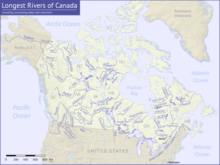
The English River is a river in Kenora District and Thunder Bay District in Northwestern Ontario, Canada.[1] It flows through Lac Seul to join the Winnipeg River as a right tributary.[2] The river is in the Hudson Bay drainage basin, is 615 kilometres (382 mi) long and has a drainage basin of 52,300 square kilometres (20,200 sq mi).[3] There are several hydroelectric plants on this river.
There is also a settlement on the river called English River, located where Ontario Highway 17 crosses the river at its confluence with the Scotch River, along with a nearby railway point of the same name, constructed as part of the Canadian Pacific Railway transcontinental main line.[4]
Course
For a map showing the river course, see this reference.[2]
The English River flows through Lac Seul to its mouth at the Winnipeg River, which flows via the Nelson River to Hudson Bay.
Tributaries
Settlements
- Caribou Falls
- Ear Falls
- Kejick Bay / Lac Seul First Nation
- Sioux Lookout
- English River
See also
References
- ↑ "English River". Geographical Names Data Base. Natural Resources Canada. Retrieved 2012-06-23.
- 1 2 "English River". Atlas of Canada. Natural Resources Canada. 2010-02-04. Retrieved 2012-06-23. Shows the course of the river on a topographic map.
- ↑ "Nelson River - Rivers - Rivers Flowing Into Hudson Bay, James Bay or Ungava Bay". Atlas of Canada. Natural Resources Canada. 2010-10-25. Archived from the original on 2012-06-16. Retrieved 2012-06-23.
- ↑ "Railways – Ontario and Quebec" (Map). 1st Edition, 1906, Atlas of Canada. Natural Resources Canada. 1904. Archived from the original on 2012-07-11. Retrieved 2012-06-22.
Other map sources:
- Map 13 (PDF) (Map). 1 : 1,600,000. Official road map of Ontario. Ministry of Transportation of Ontario. 2012-01-01. Retrieved 2012-06-23.
- Map 16 (PDF) (Map). 1 : 1,600,000. Official road map of Ontario. Ministry of Transportation of Ontario. 2012-01-01. Retrieved 2012-06-23.
- Restructured municipalities - Ontario map #1 (Map). Restructuring Maps of Ontario. Ontario Ministry of Municipal Affairs and Housing. 2006. Retrieved 2012-06-23.