Emeralda Marsh Conservation Area
| Emeralda Marsh Conservation Area | |
|---|---|
|
IUCN category Ib (wilderness area) | |
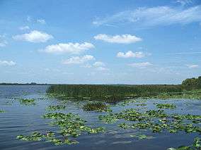 Looking west from Emeralda Island Road | |
 Location in Florida | |
| Location | Lake / Marion counties, Florida, USA |
| Nearest city | Lisbon, Florida |
| Coordinates | 28°58′1.46″N 81°48′13.88″W / 28.9670722°N 81.8038556°WCoordinates: 28°58′1.46″N 81°48′13.88″W / 28.9670722°N 81.8038556°W |
| Area | 7,089 acres (2,869 ha) |
| Established | 1974 |
| Governing body | Florida Department of Environmental Protection |
| Designated | December 1974 |
The Emeralda Marsh Conservation Area (EMCA) is a 7,089-acre (28.69 km2) U.S. conservation area administered by the St. Johns River Water Management District in Florida. It is to the east of the Lake Griffin State Park, and covers parts of Lake and Marion counties. In December 1974, it was designated a National Natural Landmark. [1][2][3][4]
It is one of the sites along the Great Florida Birding Trail.[5]
References
- ↑ "Emeralda Marsh". National Natural Landmarks Program. National Park Service.
- ↑ "Emeralda Marsh Conservation Area". St. Johns River Water Management District.
- ↑ "Emeralda Marsh — The Jewel of Lake County". Lake County BBC.
- ↑ "Bird Watching at Emeralda Marsh". Lake County BBC.
- ↑ "Emeralda Marsh Conservation Area". Great Florida Birding Trail. Archived from the original on 2011-09-29.
| Wikimedia Commons has media related to Emeralda Marsh Conservation Area. |
This article is issued from
Wikipedia.
The text is licensed under Creative Commons - Attribution - Sharealike.
Additional terms may apply for the media files.