El Gora Airport
| El Gora Airport | |||||||||||||||
|---|---|---|---|---|---|---|---|---|---|---|---|---|---|---|---|
| Summary | |||||||||||||||
| Serves | El Gorah, Egypt | ||||||||||||||
| Elevation AMSL | 324 ft / 99 m | ||||||||||||||
| Coordinates | 31°04′30″N 34°08′10″E / 31.07500°N 34.13611°ECoordinates: 31°04′30″N 34°08′10″E / 31.07500°N 34.13611°E | ||||||||||||||
| Map | |||||||||||||||
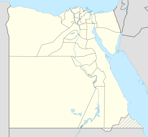 HEGR Location of the airport in Egypt | |||||||||||||||
| Runways | |||||||||||||||
| |||||||||||||||
|
Source: Google Maps[1] | |||||||||||||||
El Gora Airport (ICAO: HEGR) is an airport serving the town of El Gorah, Egypt, which is 10 miles (16 km) from the border with Israel, and 13 miles (21 km) from the southern tip of the Gaza Strip.
See also


- Transport in Egypt
- List of airports in Egypt
References
External links
- OurAirports – Egypt
- Great Circle Mapper – El Gora
- El Gora Airport
- OpenStreetMap – El Gora
- Google Earth
This article is issued from
Wikipedia.
The text is licensed under Creative Commons - Attribution - Sharealike.
Additional terms may apply for the media files.