Port Said Airport
| Port Said International Airport El Gamil Airport | |||||||||||
|---|---|---|---|---|---|---|---|---|---|---|---|
| Summary | |||||||||||
| Airport type | Public | ||||||||||
| Operator | Government | ||||||||||
| Serves | Port Said, Egypt | ||||||||||
| Elevation AMSL | 8 ft / 2 m | ||||||||||
| Coordinates | 31°16′46″N 32°14′24″E / 31.27944°N 32.24000°ECoordinates: 31°16′46″N 32°14′24″E / 31.27944°N 32.24000°E | ||||||||||
| Map | |||||||||||
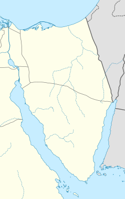 PSD Location of airport in Sinai | |||||||||||
| Runways | |||||||||||
| |||||||||||
Port Said Airport (IATA: PSD, ICAO: HEPS) serves the city of Port Said, Egypt, at the north end of the Suez Canal. In 2011, the airport served 36,962 passengers (-5.5% vs. 2010).
Modernisation
The airport underwent a modernisation program with a partial inauguration in February 2011. The airport is seen to be vital for the coastal city and to sustain its industrial expansion plans.[3]
Airlines and destinations
There are currently no scheduled services to and from the airport.
Accidents and incidents
- During a training flight on 15 January 2008, a Beech C90B King Air operated by the Nuclear Centre Survey crashed 500 meters from the airport while performing circuits, killing both the pilot and training pilot.[4]
References
- ↑ Airport information for HEPS at World Aero Data. Data current as of October 2006.Source: DAFIF.
- ↑ Airport information for PSD at Great Circle Mapper. Source: DAFIF (effective October 2006).
- ↑ "Port Said Airport to be inaugurated in February - Economy - Business - Ahram Online". english.ahram.org.eg. Retrieved 2018-08-20.
- ↑ Accident Report from National Transportation Safety Board
External links
This article is issued from
Wikipedia.
The text is licensed under Creative Commons - Attribution - Sharealike.
Additional terms may apply for the media files.