Eike
| Eike | |
|---|---|
| Village | |
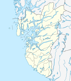 Eike Location in Rogaland county  Eike Eike (Norway) | |
| Coordinates: 59°23′46″N 05°22′14″E / 59.39611°N 5.37056°ECoordinates: 59°23′46″N 05°22′14″E / 59.39611°N 5.37056°E | |
| Country | Norway |
| Region | Western Norway |
| County | Rogaland |
| District | Haugaland |
| Municipality | Karmøy |
| Elevation[1] | 47 m (154 ft) |
| Time zone | UTC+01:00 (CET) |
| • Summer (DST) | UTC+02:00 (CEST) |
| Post Code | 5541 Kolnes |
Eike is a village in Karmøy municipality in Rogaland county, Norway. The village is located along the western shore of the Førresfjorden, just southeast of the town of Haugesund. The village of Eike, lies just south of the border with the neighboring municipality of Tysvær. Eike is considered part of the larger urban area of Førre, which is centered over the border in Tysvær. The village of Norheim lies about 4 kilometres (2.5 mi) to the west and the village of Vormedal lies about 6 kilometres (3.7 mi) to the southwest.
References
- ↑ "Nordre Eike, Karmøy (Rogaland)" (in Norwegian). yr.no. Retrieved 2015-11-05.
This article is issued from
Wikipedia.
The text is licensed under Creative Commons - Attribution - Sharealike.
Additional terms may apply for the media files.