Edness K. Wilkins State Park
| Edness K. Wilkins State Park | |
| Wyoming State Park | |
| Country | |
|---|---|
| State | |
| County | Natrona |
| City | Casper |
| Elevation | 5,150 ft (1,570 m) [1] |
| Coordinates | 42°51′18″N 106°10′30″W / 42.855°N 106.175°WCoordinates: 42°51′18″N 106°10′30″W / 42.855°N 106.175°W |
| Total area | 361 acres (146 ha) [2] |
| - Land | 355 acres (144 ha) |
| - Water | 6 acres (2 ha) |
| Established | 1981 [3] |
| Management | Wyoming Division of State Parks and Historic Sites |
| IUCN category | III[4] |
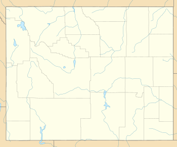
 Location in Wyoming | |
| Website: Edness K. Wilkins State Park | |
Edness K. Wilkins State Park is a public recreation area on the North Platte River located 6 miles (9.7 km) east of the city of Casper in Natrona County, Wyoming.[5] The state park occupies the site of a former rock quarry that was purchased by the state in 1981 for $380,000. It was named after area resident Edness Kimball Wilkins (1896-1980), who served for 25 years in the Wyoming state legislature. The park encompasses 361 acres (146 ha) and offers picnicking, boating, fishing, swimming, and bird watching.[3] It is managed by the Wyoming Division of State Parks and Historic Sites.
References
- ↑ "Edness K. Wilkins State Park". Wyoming Places. Wyoming State Library. Retrieved November 17, 2015.
- ↑ "Table 1. Facilities managed by Wyoming State Parks, Historic Sites and Trails" (PDF). SOAR 2021. Wyoming Department of State Parks and Cultural Resources. p. 12. Retrieved August 23, 2017.
- 1 2 "Edness K. Wilkins State Park Brochure" (PDF). Wyoming Department of State Parks and Cultural Resources. Retrieved November 17, 2015.
- ↑ "South Pass City/Edness K. Wilkins State Park State Park". Protected Planet. IUCN. Retrieved 1 May 2018.
- ↑ "Edness K. Wilkins State Park". Wyoming State Parks, Historic Sites & Trails. State of Wyoming. Retrieved August 23, 2017.
External links
- Edness K. Wilkins State Park Wyoming State Parks, Historic Sites & Trails
- Edness K. Wilkins State Park Brochure & Map] Wyoming State Parks, Historic Sites & Trails
This article is issued from
Wikipedia.
The text is licensed under Creative Commons - Attribution - Sharealike.
Additional terms may apply for the media files.