Eastern Thailand
| Eastern Region | |
|---|---|
| Region | |
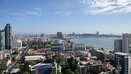 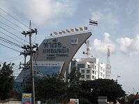   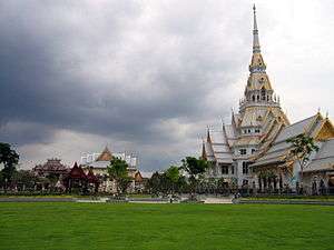 From upper-left to lower-right: Pattaya in daytime, Port of Laem Chabang, Khao Khitchakut, Ko Chang and Wat Sothonwararam | |
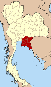 Eastern Region in Thailand | |
| Largest city | Chaophraya Surasak City |
| Provinces | |
| Area | |
| • Total | 34,380 km2 (13,270 sq mi) |
| Population (2017) | |
| • Total | 4,743,840 |
| • Density | 140/km2 (360/sq mi) |
| Time zone | UTC+7 (Thailand) |
Eastern Thailand is a region of Thailand bordering Cambodia on the east and central Thailand on the west.
Geography
Eastern Thailand lies between the Sankamphaeng Range, which forms a natural border with the Khorat Plateau to the north and the Gulf of Thailand to the south. The geography of the region is characterised by short mountain ranges alternating with small basins of short rivers which drain into the Gulf of Thailand.
Fruit is a major component of agriculture in the area, and tourism plays a strong part in the economy. The region's coastal location has helped promote eastern seaboard industrial development, a major factor in the economy of the region.[1]
Islands off Eastern Thailand's coast include Ko Sichang, Ko Lan, Ko Samet, and Ko Chang.
Administrative divisions
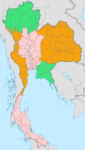
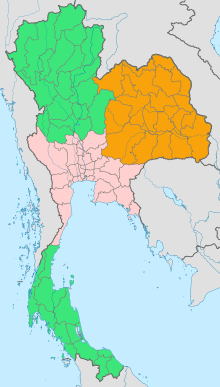
According to the six geographical regions established by the National Research Council of Thailand, the eastern region includes the following provinces:
- Chachoengsao (ฉะเชิงเทรา)
- Chanthaburi (จันทบุรี)
- Chonburi (ชลบุรี)
- Prachinburi (ปราจีนบุรี)
- Rayong (ระยอง)
- Sa Kaeo (สระแก้ว)
- Trat (ตราด)
References
- ↑ Eastern Seaboard Development Programme - Rayong Archived March 8, 2016, at the Wayback Machine.
External links

See also
 | Four-region division system |
|  |
|---|---|---|---|
| Six-region division system |
| ||