Eastcote, Northamptonshire
| Eastcote | |
|---|---|
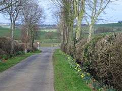 Daffodils on Pound Lane, Eastcote. The "pound" was an enclosure for cattle to be penned in overnight while being driven on the hoof to Banbury market, often from as far away as Scotland | |
 Eastcote Eastcote shown within Northamptonshire | |
| OS grid reference | SP680540 |
| Civil parish | |
| District | |
| Shire county | |
| Region | |
| Country | England |
| Sovereign state | United Kingdom |
| Post town | TOWCESTER |
| Postcode district | NN12 |
| Dialling code | 01327 |
| Police | Northamptonshire |
| Fire | Northamptonshire |
| Ambulance | East Midlands |
| EU Parliament | East Midlands |
| UK Parliament | |
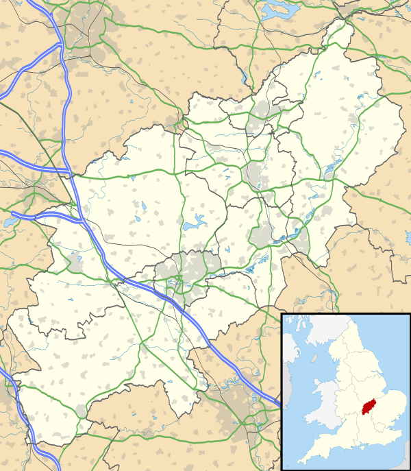
Eastcote is a small village in the shire county of Northamptonshire (Northants), England. It is about 7 miles (11.3 km) south-west of the county town of Northampton along Banbury Lane. It is close to the A5 road, the Roman Road known as Watling Street, about 4 miles (6.4 km) north-west of Towcester. Prior to the opening in the 1959 of the M1 Motorway and the M6 Motorway a little later, the A5 was the main route by road from London to north Wales and north-west England.
Governance
The village is grouped with several other small villages into the parish council of the nearby larger village of Pattishall. The District Council is South Northamptonshire District Council where the village is part of Blakesley and Cote ward. This is a two-member ward currently both Conservative.
History
Eastcote House stood in 60 acres and was owned by a Mr Gresham. The house was demolished around the middle of the 20th century.[1] Just before the start of World War I, the house was sold as a retirement home to the National Sailor's and Firemen's Union of England as a retirement home. However, the Government took the house over as an internment camp for German merchant seamen. Initially housing 50 men, in 1916 the seamen were moved out and the camp became a Prisoner of War Camp expanding to about 4,500 men by 1919 and complete with a new water supply, sewerage system, hospital, theatre and workshop. There were periodic escapes: seven men escaped in 1917 but all were caught 11 miles (18 km) east in Denton.[1]
References
External links