Durrow, County Offaly (civil parish)
| Durrow Darú | |
|---|---|
| Civil parish | |
 Durrow Location of Durrow within County Offaly in the Republic of Ireland | |
| Coordinates: 53°19′14″N 7°31′43″W / 53.32056°N 7.52861°WCoordinates: 53°19′14″N 7°31′43″W / 53.32056°N 7.52861°W | |
| Country |
|
| Province | Leinster |
| County | County Offaly |
| Irish grid reference | N341320 |
Durrow (Irish: Darú)[1] is a civil parish in County Offaly, Ireland. It is located about 5.52 kilometres (3 mi) north–north–west of Tullamore.
Durrow is one of 4 civil parishes in the barony of Ballycowan in the Province of Leinster. The civil parish covers 7,526.4 acres (30.458 km2). It is contiguous with the remainder of the Durrow civil parish, which is in County Westmeath.
Durrow civil parish, County Offaly comprises the small village of Durrow and 21 townlands: Acantha, Aghancarnan, Ashfield, Balleek, Balleek Beg, Ballybought, Ballycallaghan, Ballynamona, Cartron, Coleraine, Coniker, Coolnahely, Culleen, Doory, Durrow Demesne, Gormagh, Kilclare, Kildangan, Loughaun, Lug and Tara.
The neighbouring civil parishes are: Ardnurcher or Horseleap (County Westmeath) to the north, Ballycommon to the east, Kilbride to the south, Rahan to the west and Kilbride to the west and north.[2][3]
References
- ↑ Durrow civil parish, County Offaly The Placenames Database of Ireland. Retrieved on 15 July 2015.
- ↑ Durrow civil parish, County Offaly townlands.ie Retrieved on 15 July 2015.
- ↑ Durrow civil parish, County Offaly The IreAtlas Townland Data Base. Retrieved on 15 July 2015.
Places in County Offaly | ||
|---|---|---|
| Towns | 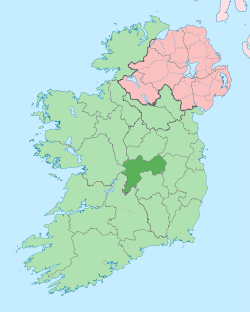 | |
| Villages and Townlands |
| |
| Landforms | ||
| Topics |
| |