Devegeçidi Bridge
| Devegeçidi Bridge Devegeçidi Köprüsü | |
|---|---|
| Coordinates | 38°03′12″N 40°04′09.3″E / 38.05333°N 40.069250°ECoordinates: 38°03′12″N 40°04′09.3″E / 38.05333°N 40.069250°E |
| Crosses | Devegeçidi stream |
| Locale | Diyarbakır Province, Southeastern Anatolia Region, Turkey |
| Other name(s) | Kurdish: Pira Neqeba Deveyan |
| Characteristics | |
| Design | Arch bridge |
| Material | Stone masonry and rubble |
| Total length | 119.17 m (391.0 ft)[1] |
| Width | 6.40 m (21.0 ft)[1] |
| Longest span | 13.70 m (44.9 ft)[1] |
| No. of spans | 7 |
| Piers in water | 3 |
| History | |
| Construction end | 1218 |
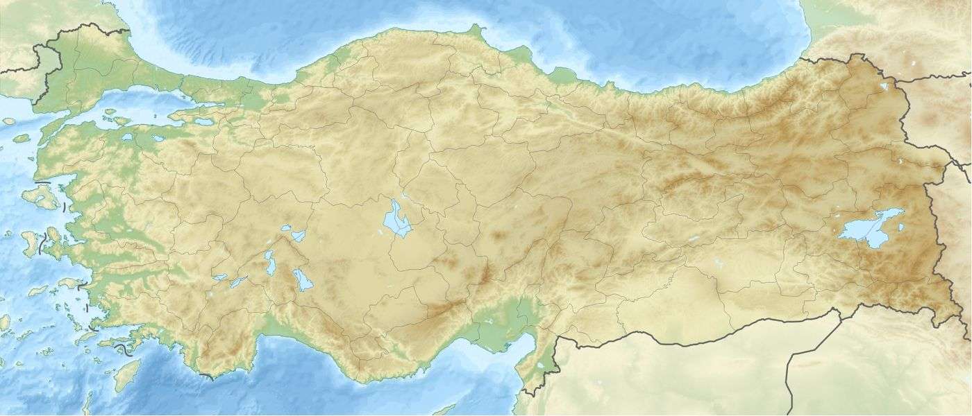 Devegeçidi Bridge Location in Turkey | |
Devegeçidi Bridge, also known as Kara Köprü and Sultan Murad IV Köprüsü is a disused stone bridge of seven arches across the Devegeçidi stream 20 km (12 mi) north of Diyarbakır, in southeast Turkey, on the road to Ergani.[1][2][lower-alpha 1] There is a separate bridge across the same stream that is often also called the Devegeçidi Bridge 13.5 km (8.4 mi) to the east, near the stream's confluence with the Tigris river.[2]
There are three inscriptions on the southern portion of the bridge, one of which indicates that it was built in 1218 by the Artuqid ruler Melik Salih Nâsıreddin Mahmud.[1] The bridge is made entirely of basalt blocks, some finely dressed others less so and has seven pointed arches, of which the southern two are the broadest.[1] Deve Geçidi Bridge was last repaired in 1972.[1]
Footnotes
- ↑ Sinclair noted only six arches during his visit to the site. Possibly the smallest, northern arch was concealed at that time.
References
Sources
| Wikimedia Commons has media related to Diyarbakır. |
- Sinclair, T.A. (1989), Eastern Turkey: An Architectural and Archaeological Survey, 3, Pindar Press, ISBN 0907132340
- "Bridges". Diyarbakır Büyükşehir Belediyesi. Retrieved 16 August 2017.