Dembel
| Dembel | |
|---|---|
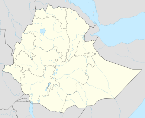 Dembel Location within Ethiopia | |
| Coordinates: 9°48′N 42°36′E / 9.800°N 42.600°ECoordinates: 9°48′N 42°36′E / 9.800°N 42.600°E | |
| Country | Ethiopia |
| Region | Somali |
| Zone | Shinile |
| Woreda | Dembel |
| Elevation | 1,333 m (4,373 ft) |
| Time zone | UTC+3 (EAT) |
Dembel is a town in central Ethiopia. Located in the Shinile Zone of the Somali Region. It is the administrative center of Dembel woreda.[1]
Overview
Inhabitants of this woreda have engaged in crop farming since 1965; however, there has been a great decline in crop production from 1989 to 2001. That was primarily caused by clan conflicts and aggravated by severe droughts. Between 35-45% of the inhabitants are pastoralists, while 55-65% raise cereals (mostly sorghum) as well as raise livestock.
Demographics
This town is primarily inhabited by the Makahiil Gadabuursi subclans of the Dir clan family.[2][3][4]
References
- ↑ The 1994 Population and Housing Census of Ethiopia: Statistical report. The 1994 Population and Housing Census of Ethiopia: Results at Country Level. The Authority. 1998. p. 40. Retrieved 14 August 2018.
- ↑ "Shinile Agropastoral Livelihood Zone" (PDF). Save the Children. 2001. p. 8. Archived from the original (PDF) on 16 February 2012. Retrieved 8 February 2012.
Gurgura, Gadabursi and Hawiya who are mainly Agro‐Pastoral, also inhabit the districts of Erer, Dambal and Meiso respectively...
- ↑ "IL-DUUFKA WEYN EE LALA BEEGSADAY DAD-WEYNAHA GOBOLKA HARAWO". Harawo.org (in Somali). Retrieved 2012-02-08.
- ↑ "United Nations Emergencies Unit for Ethiopia, Field Trip to Jijiga (22-29 April, 1994)" (PDF). p. 2. Archived from the original (PDF) on 18 December 2010. Retrieved 3 April 2011.
External links
This article is issued from
Wikipedia.
The text is licensed under Creative Commons - Attribution - Sharealike.
Additional terms may apply for the media files.