Dadu District
| Dadu District ضلعو دادو | |
|---|---|
| District | |
 Dadu is located in the east of Sindh | |
| Country | Pakistan |
| Province | Sindh |
| Headquarters | Dadu |
| • District Nazim | (ISF) |
| Area | |
| • Total | 7,866 km2 (3,037 sq mi) |
| Population (2017)[1] | |
| • Total | 1,550,266 |
| • Density | 200/km2 (510/sq mi) |
| Time zone | UTC+5 (PST) |
| Area code(s) | 025 |
| Number of Tehsils | 5 |
Dadu District (Sindhi: دادو), (Urdu: دادو) is a district of Sindh Province, Pakistan. Dadu District was created in 1931 by merging Kotri and Mahal Kohistan (later Jamshoro) tehsils from Karachi District and Mehar, Khairpur Nathan Shah, Dadu, Johi and Sehwan tehsils from Larkana District.[2] IN 2004, several talukas in the south were split off to create the new Jamshoro District.[3] Its boundary touches with four districts of Sindh i.e. Jamshoro, Naushahro Feroze, Shaheed Benazirabad and Kamber Shahdadkot. [4]
Demographics
The predominant first language is Sindhi, which as of 1998 was natively spoken by 98.3% of the population of the talukas of Dadu, Johi, Khairpur Nathan Shah and Mehar.[5]
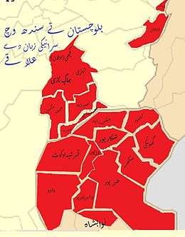
Saraiki region of Sindh and Balochistan
Places of interest
- Gorakh Hill - First hill station in Sindh
- Manchar Lake - Largest lake in Pakistan
- Khudabad Mosque - the oldest mosques in Dadu
- Yar Muhammad Kalhoro Tomb
See also
References
- ↑ "DISTRICT WISE CENSUS RESULTS CENSUS 2017" (PDF). www.pbscensus.gov.pk.
- ↑ http://www.mbbscd.usindh.edu.pk/dadu_intro.php
- ↑ "Four new districts created in Sindh". 2004. Retrieved 26 December 2016.
- ↑ http://www.politicpk.com/dadu-district-uc-list-mna-mpa-seats-دادو-ضلع-کی-یونین-کونسلز
- ↑ PCO 2000, pp. 109–11.
Bibliography
- 1998 District census report of Dadu. Census publication. 82. Islamabad: Population Census Organization, Statistics Division, Government of Pakistan. 2000.
This article is issued from
Wikipedia.
The text is licensed under Creative Commons - Attribution - Sharealike.
Additional terms may apply for the media files.