Cuchilla Grande Inferior
| Cuchilla Grande Inferior | |
|---|---|
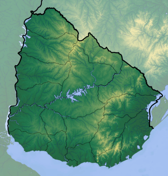 Cuchilla Grande Inferior Location in Uruguay | |
| Highest point | |
| Elevation | 351 m (1,152 ft) |
| Coordinates | 33°40′0″S 56°30′0″W / 33.66667°S 56.50000°WCoordinates: 33°40′0″S 56°30′0″W / 33.66667°S 56.50000°W |
| Geography | |
| Country | Uruguay |
| Geology | |
| Age of rock | Precambrian |
| Type of rock | Granite, gneiss |
Cuchilla Grande Inferior is a hill range in Uruguay that constitutes part of a larger range named Cuchilla Grande.
It is located in the south of the country on the territory of Departments of Florida, Flores, Soriano and north of San José and Colonia. Cuchilla Grande Inferior stretches east-west approximately from Alejandro Gallinal to Cardona, in a distance of approximately 120 miles.[1]
References
This article is issued from
Wikipedia.
The text is licensed under Creative Commons - Attribution - Sharealike.
Additional terms may apply for the media files.