Cranbrook, Ontario
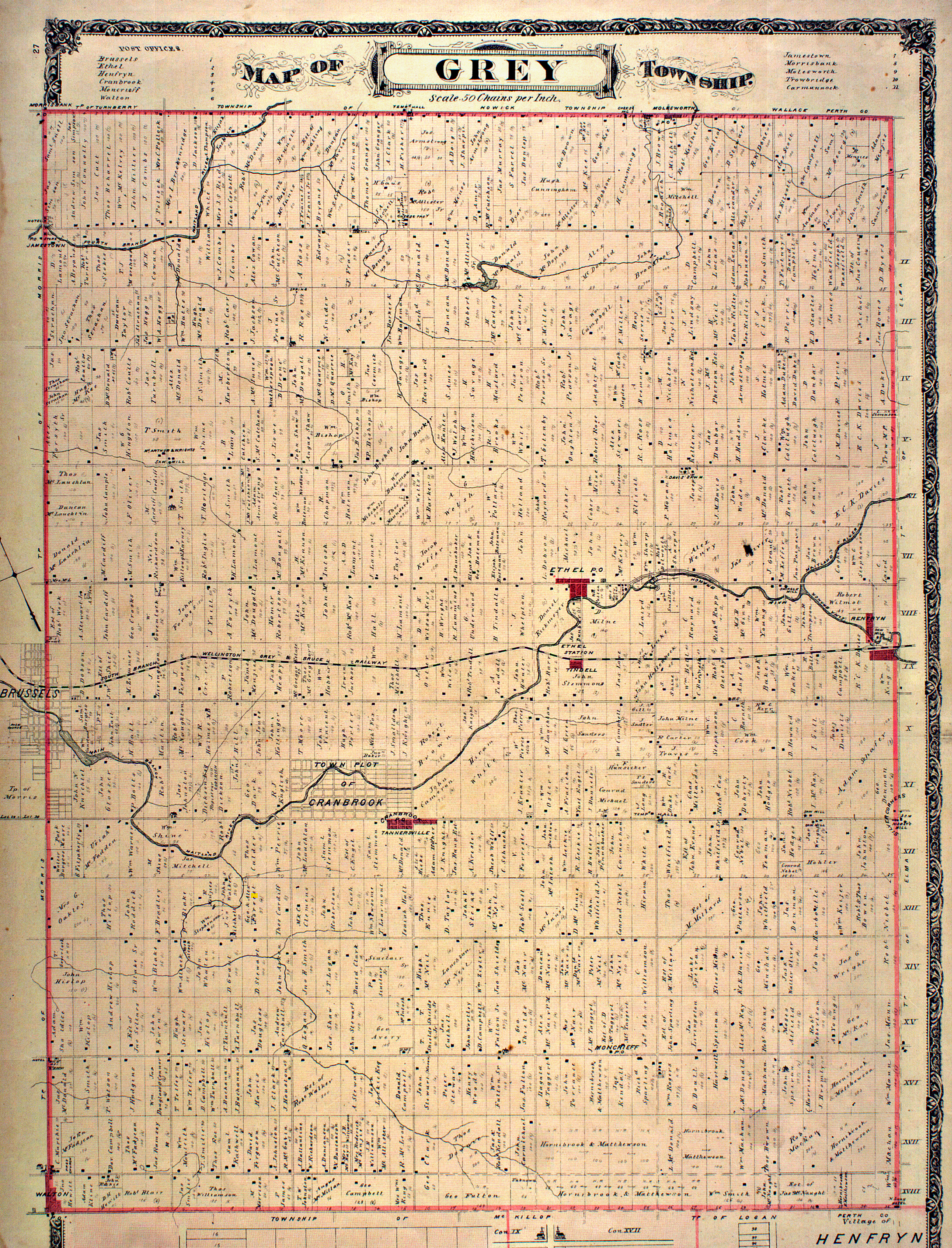
Cranbrook is a community and unincorporated area in the municipality of Huron East, Huron County in southwestern Ontario, Canada,[1] It is located at the intersection of McNabb Line and Cranbrook Road in geographic Grey Township.[2]
Cranbrook is a pre-Confederation settlement with at least one house, of limestone construction, that dates back to 1869, and is part of the former Huron Tract.
The main industry is farming.
The Middle Maitland River flows past the community on the way to Goderich on Lake Huron.
Points of interest include:
- extreme birdhouses that resemble miniature buildings, as well as lawn ornaments, made by a retired carpenter using barn wood as much as 150 years old[3][4]
References
- ↑ "Cranbrook". Geographical Names Data Base. Natural Resources Canada. Retrieved 2014-02-06.
- ↑ "Township of Grey" (JPG). Canadian County Atlas Project. McGill University. 2001. Retrieved 2014-02-06.
- ↑ Decorative Birdhouses
- ↑ John from Cranbrook, Ontario. Accessed 2012-10-16
Other map sources:
- Map 4 (PDF) (Map). 1 : 700,000. Official road map of Ontario. Ministry of Transportation of Ontario. 2010-01-01. Retrieved 2014-02-06.
- Restructured municipalities - Ontario map #6 (Map). Restructuring Maps of Ontario. Ontario Ministry of Municipal Affairs and Housing. 2006. Retrieved 2014-02-06.
Coordinates: 43°42′13″N 81°11′38″W / 43.70361°N 81.19389°W
This article is issued from
Wikipedia.
The text is licensed under Creative Commons - Attribution - Sharealike.
Additional terms may apply for the media files.