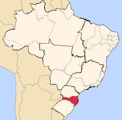
Corupá is a municipality of the state of Santa Catarina, located in the South Region of Brazil. It has approximately 13,000 inhabitants distributed over 407 km². It is located in the Valley Itapocu near Joinville. Its economy is based on the metallurgical industry and in the production of bananas.
References
|
|---|
|
| Grande Florianópolis | | Florianópolis | |
|---|
| Tabuleiro | |
|---|
| Tijucas | |
|---|
| |
|---|
| Norte Catarinense | | Canoinhas | |
|---|
| Joinville | |
|---|
| São Bento do Sul | |
|---|
|
|---|
| Oeste Catarinense | | Chapecó | |
|---|
| Concórdia | |
|---|
| Joaçaba | |
|---|
| São Miguel d'Oeste | |
|---|
| Xanxerê | |
|---|
|
|---|
| Serrana | | Campos de Lages | |
|---|
| Curitibanos | |
|---|
|
|---|
| Sul Catarinense | |
|---|
| Vale do Itajai | | Blumenau | |
|---|
| Itajaí | |
|---|
| Ituporanga | |
|---|
| Rio do Sul | |
|---|
|
|---|