Cooladdi
| Cooladdi Queensland | |||||||||||||||
|---|---|---|---|---|---|---|---|---|---|---|---|---|---|---|---|
 Cooladdi | |||||||||||||||
| Coordinates | 26°38′25″S 145°27′42″E / 26.64028°S 145.46167°ECoordinates: 26°38′25″S 145°27′42″E / 26.64028°S 145.46167°E | ||||||||||||||
| Population | 3 (2015)[1] | ||||||||||||||
| Postcode(s) | 4479 | ||||||||||||||
| Elevation | 300 m (984 ft) | ||||||||||||||
| Location |
| ||||||||||||||
| LGA(s) | Shire of Murweh | ||||||||||||||
| State electorate(s) | Warrego | ||||||||||||||
| Federal Division(s) | Maranoa | ||||||||||||||
| |||||||||||||||
Cooladdi is a ghost town and locality in the Shire of Murweh, Queensland, Australia.[2][3] The town is 826 kilometres (513 mi) west of the city of Brisbane. In 2015, the population was 3 (down from 4 in 2013), all of whom reside at the general store.[1][4]
Geography
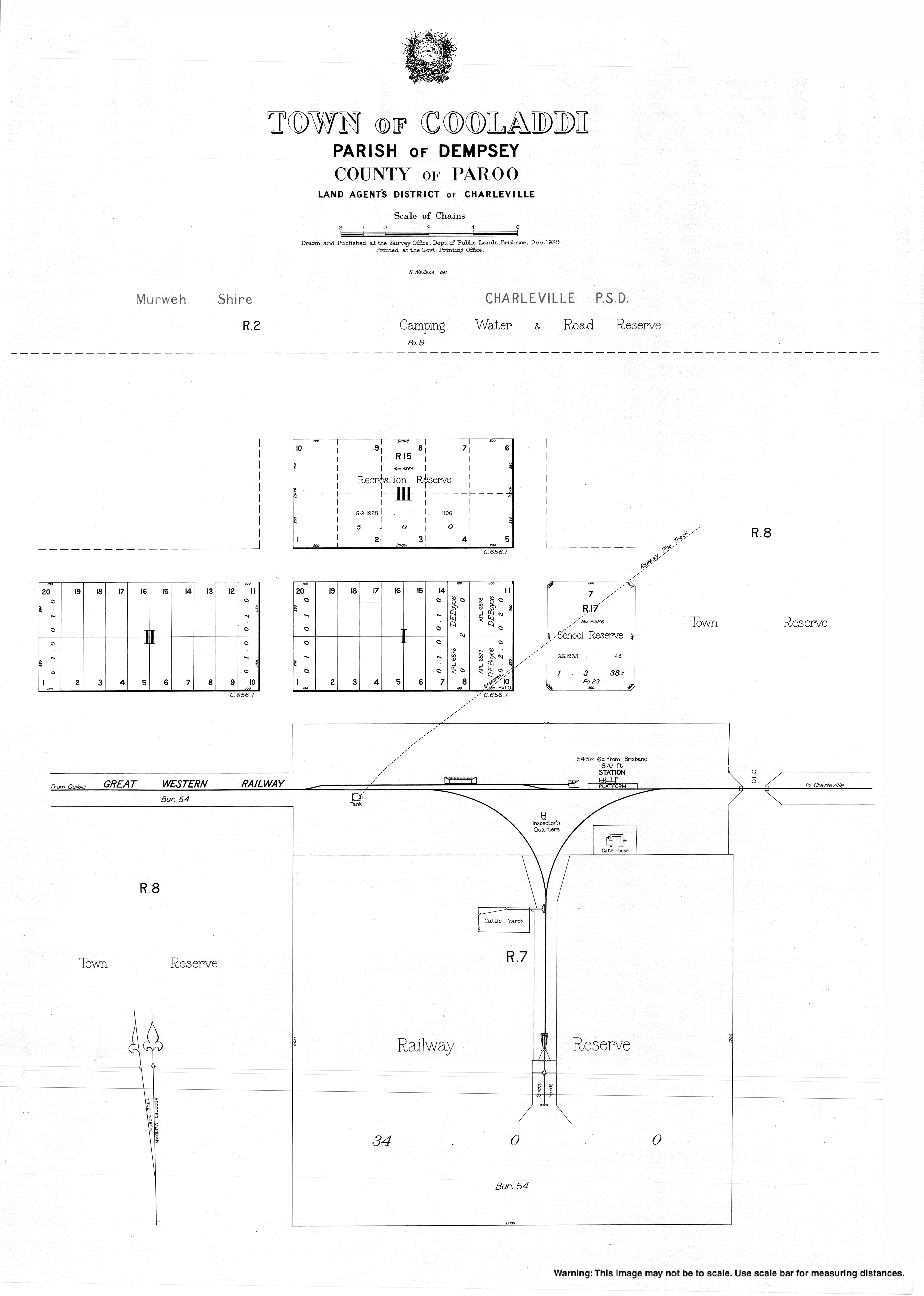
The town is in the centre of the locality. The Western railway line passes from east to west through the town and locality; the town was served by the Cooladdi railway station. The Diamantina Developmental Road also passes from east to west through the town and locality.[5]
History
The railway station was originally called Yarronvale after a local pastoral station with the town taking its name from the railway station. However, it was renamed in 1913 to Cooladdi, an Aboriginal word meaning black duck, to avoid confusion with the pastoral station, which was 15 miles away.[4]
Cooladdi was a railhead for the local pastoral community. At one time, Cooladdi had a school, post office, and police station with a population of about 270 people. As the railway line extended further west, Cooladdi's role and population declined.[4][6]
The Cooladdi State School originally opened on 19 March 1926 as a Provisional School with 9 students under teacher A.W. Marsh. In 1933 a new school building was constructed and the school redesignated as a State School. The school closed on 3 May 1974.[7][8][9]
References
- 1 2 Arthur, Chrissy (16 November 2015). "Stories and photos capture vibrant past of Queensland's outback 'ghost town' Cooladdi". Australian Broadcasting Corporation. Retrieved 21 September 2016.
- ↑ "Cooladdi - town (entry 8067)". Queensland Place Names. Queensland Government. Retrieved 21 September 2016.
- ↑ "Cooladdi - locality (entry 42925)". Queensland Place Names. Queensland Government. Retrieved 21 September 2016.
- 1 2 3 Reilly, Jill (5 November 2013). "Australia's tiniest town which has a motel, train station and four-star restaurant... but only FOUR residents". Daily Mail. Retrieved 21 September 2016.
- ↑ "Queensland Globe". State of Queensland. Retrieved 20 September 2016.
- ↑ "Naming Stations—Glass House Mountains". The Brisbane Courier (17, 512). 28 February 1914. p. 4. Retrieved 21 September 2016 – via National Library of Australia.
- ↑ Queensland Family History Society (2010), Queensland schools past and present (Version 1.01 ed.), Queensland Family History Society, ISBN 978-1-921171-26-0
- ↑ "WESTERN LINE". Daily Mail (7289). Brisbane. 9 July 1925. p. 14. Retrieved 21 September 2016 – via National Library of Australia.
- ↑ "Agency ID182, Cooladdi State School". Queensland State Archives. Retrieved 21 September 2016.
Further reading
- Murweh (Qld.). Council (1999), Midst the mulga : Charleville, Morven, Augathella and Cooladdi (1999 ed.), Westprint Charleville, retrieved 21 September 2016