Colorina
| Colorina | |
|---|---|
| Comune | |
| Comune di Colorina | |
 Colorina Location of Colorina in Italy | |
| Coordinates: 46°9′N 9°44′E / 46.150°N 9.733°ECoordinates: 46°9′N 9°44′E / 46.150°N 9.733°E | |
| Country | Italy |
| Region | Lombardy |
| Province | Province of Sondrio (SO) |
| Frazioni | Valle, Piona, Selvetta |
| Area | |
| • Total | 18.0 km2 (6.9 sq mi) |
| Elevation | 385 m (1,263 ft) |
| Population (Dec. 2004) | |
| • Total | 1,468 |
| • Density | 82/km2 (210/sq mi) |
| Time zone | UTC+1 (CET) |
| • Summer (DST) | UTC+2 (CEST) |
| Postal code | 23010 |
| Dialing code | 0342 |
| Website | Official website |
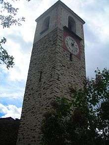
medieval tower
Colorina is a comune (municipality) in the Province of Sondrio in the Italian region Lombardy, located about 90 kilometres (56 mi) northeast of Milan and about 10 kilometres (6 mi) west of Sondrio. As of 31 December 2004, it had a population of 1,468 and an area of 18.0 square kilometres (6.9 sq mi).[1]
The municipality of Colorina contains the frazioni (subdivisions, mainly villages and hamlets) Valle, Piona, and Selvetta.
Colorina borders the following municipalities: Berbenno di Valtellina, Buglio in Monte, Forcola, Fusine.
Demographic evolution

References
External links

This article is issued from
Wikipedia.
The text is licensed under Creative Commons - Attribution - Sharealike.
Additional terms may apply for the media files.