Clows Top
| Clows Top | |
|---|---|
 | |
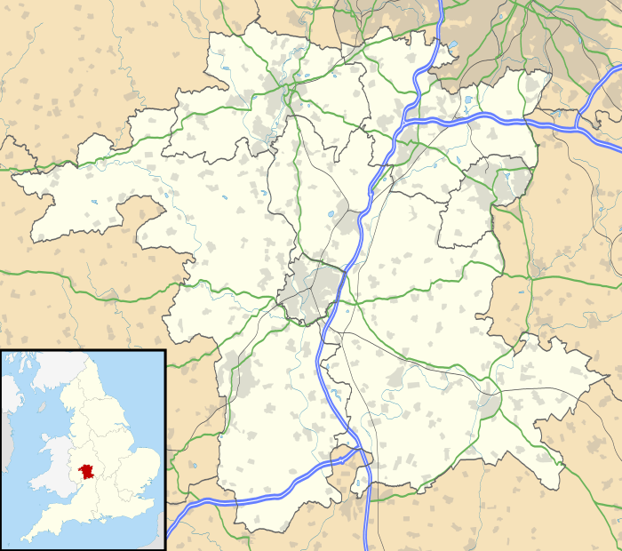 Clows Top Clows Top shown within Worcestershire | |
| Civil parish |
|
| District | |
| Shire county | |
| Region | |
| Country | England |
| Sovereign state | United Kingdom |
| Post town | Kidderminster |
| Postcode district | DY14 |
| Police | West Mercia |
| Fire | Hereford and Worcester |
| Ambulance | West Midlands |
| EU Parliament | West Midlands |
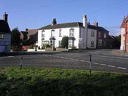
Clows Top is a village in north Worcestershire, England.
There is a village shop, a butchers and a village hall (named the "Victory Hall"). It lies on the A456 road between Tenbury Wells and Bewdley.
The settlement is divided by the border of the districts of Malvern Hills and Wyre Forest; it also lies on the tripoint of the civil parishes of Mamble, Bayton and Rock.
The summit of the hill reaches an elevation of 231 metres (758 ft).[1]
References
- ↑ Ordnance Survey mapping
![]()
This article is issued from
Wikipedia.
The text is licensed under Creative Commons - Attribution - Sharealike.
Additional terms may apply for the media files.