Chitipa Airport
| Chitipa Airport | |||||||||||
|---|---|---|---|---|---|---|---|---|---|---|---|
| Summary | |||||||||||
| Airport type | Public | ||||||||||
| Serves | Chitipa | ||||||||||
| Elevation AMSL | 4,270 ft / 1,301 m | ||||||||||
| Coordinates | 09°42′00″S 33°16′00″E / 9.70000°S 33.26667°ECoordinates: 09°42′00″S 33°16′00″E / 9.70000°S 33.26667°E | ||||||||||
| Map | |||||||||||
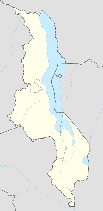 FWCT Location of the airport in Malawi | |||||||||||
| Runways | |||||||||||
| |||||||||||
|
Sources: Google Maps | |||||||||||
Chitipa Airport (ICAO: FWCT) is an airport serving the town of Chitipa, Republic of Malawi.
See also
- Transport in Malawi


References
- Directory of Airports in Malawi
- Google Earth
External links
This article is issued from
Wikipedia.
The text is licensed under Creative Commons - Attribution - Sharealike.
Additional terms may apply for the media files.