Castledale, British Columbia
| Castledale | |
|---|---|
 Sign for Castledale | |
 Castledale Location of Castledale in British Columbia | |
| Coordinates: 51°01′23″N 116°31′53″W / 51.0230626°N 116.5313018°WCoordinates: 51°01′23″N 116°31′53″W / 51.0230626°N 116.5313018°W | |
| Country |
|
| Province |
|
| Region | Columbia Valley |
| Regional District | Columbia-Shuswap |
| Time zone | UTC-7 (MST) |
| • Summer (DST) | UTC-6 (MDT) |
| Area code(s) | 250, 778 |
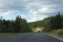
Roads in Castledale on BC95
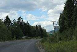
Castledale is an unincorporated community in the Columbia-Shuswap Regional District region of British Columbia. It is located along the Upper Columbia River between Parson and Spillamacheen.[1] British Columbia Highway 95 passes through the community.[2]
References
- ↑ "BC Geographical Names". BC Geographical Names database. Retrieved 16 April 2016.
- ↑ "Location of Castledale, BC". Google Maps. Retrieved 16 March 2016.
This article is issued from
Wikipedia.
The text is licensed under Creative Commons - Attribution - Sharealike.
Additional terms may apply for the media files.