Cape Bauld
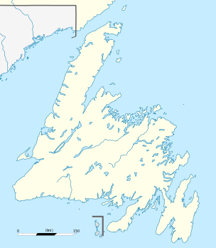
Cape Bauld is a headland located at the northeasternmost point of Great Northern Peninsula on the island of Newfoundland in the Canadian province of Newfoundland and Labrador.
Cape Bauld, slightly south and east of Cape Norman, delineates the eastern end of the Strait of Belle Isle.
Cape Bauld is located on the north side of Quirpon Island.
The English explorer John Cabot may have landed at Cape Bauld on June 24, 1497, though Cape Bonavista is also mentioned as a potential landing point. Cape Bauld is only some nine kilometers (5.6 miles) northeast of the verified Viking archeological site, the L'Anse aux Meadows coastal location, dating to five centuries earlier than Cabot's date of achievement.
Lighthouse
| Location |
Cape Bauld Quirpon Island Newfoundland Canada |
|---|---|
| Coordinates | 51°36′24.4″N 55°25′38.4″W / 51.606778°N 55.427333°W |
| Year first constructed | 1884 (first) |
| Year first lit | 1962 (current) |
| Deactivated | 1962 (first) |
| Foundation | concrete base |
| Construction |
wooden tower (first) concrete tower (current) |
| Tower shape |
quadrangular tower (first) octagonal frustum tower with balcony and lantern (current) |
| Markings / pattern | with tower, red lantern |
| Height | 14.6 metres (48 ft) |
| Focal height | 54 metres (177 ft) |
| Range | 17 nautical miles (31 km; 20 mi) |
| Characteristic | Fl W 15s. |
| Admiralty number | H0132 |
| CHS number | CCG 225 |
| NGA number | 1052 |
| ARLHS number | CAN-652 |
| Managing agent | Canadian Coast Guard[1][2] |
A lighthouse was constructed at the cape in 1884.[3] The current lighthouse is the second replacement structure, constructed 1960–1961.[4] The lightkeeper's residence is from 1920.[5]
See also
References
- ↑ Ceantral and Western Newfoundland The Lighthouse Directory. University of North Carolina at Chapel Hill. Retrieved 6 February 2017
- ↑ List of Lights, Pub. 110: Greenland, The East Coasts of North and South America (Excluding Continental U.S.A. Except the East Coast of Florida) and the West Indies (PDF). List of Lights. United States National Geospatial-Intelligence Agency. 2016.
- ↑ Cape Bauld, NF Lighthousefriends.com. Retrieved 6 February 2017
- ↑ "Cape Bauld Light Tower". Canada's Historic Places. Parks Canada. Archived from the original on 7 March 2016. Retrieved 23 July 2016.
- ↑ "Quirpon Island Lightkeeper's Residence". Canada's Historic Places. Parks Canada. Archived from the original on 5 March 2016. Retrieved 23 July 2016.
External links
Coordinates: 51°38′27″N 55°25′33″W / 51.64083°N 55.42583°W