Canary Island, Victoria
| Canary Island Victoria | |
|---|---|
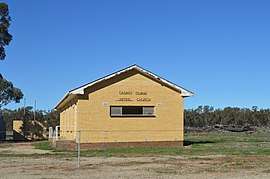 Canary Island Uniting Church | |
 Canary Island | |
| Coordinates | 35°59′22″S 143°50′38″E / 35.98944°S 143.84389°ECoordinates: 35°59′22″S 143°50′38″E / 35.98944°S 143.84389°E |
| Population | 10 (2016 census)[1] |
| Postcode(s) | 3537 |
| Location | |
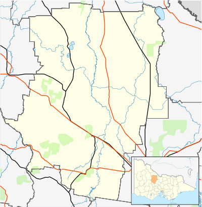
| LGA(s) | Shire of Loddon |
| State electorate(s) | Murray Plains |
| Federal Division(s) | Murray |
Canary Island is a locality in north central Victoria, Australia. The locality is in the Shire of Loddon and on the Loddon River, 259 kilometres (161 mi) north west of the state capital, Melbourne. The locality is an inland island formed by Twelve Mile Creek - an anabranch of the Loddon River.
At the 2016 census, Canary Island had a population of 10.[1]
References
- 1 2 Australian Bureau of Statistics (27 June 2017). "Canary Island". 2016 Census QuickStats. Retrieved 12 July 2017.

External links
![]()
This article is issued from
Wikipedia.
The text is licensed under Creative Commons - Attribution - Sharealike.
Additional terms may apply for the media files.