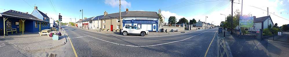
Camolin, County Wexford
| Camolin Cam Eolaing | |
|---|---|
| Town | |
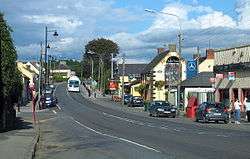 The N11 as Camolin Main Street | |
 Camolin Location in Ireland | |
| Coordinates: 52°36′54″N 6°25′30″W / 52.615°N 6.425°WCoordinates: 52°36′54″N 6°25′30″W / 52.615°N 6.425°W | |
| Country | Ireland |
| Province | Leinster |
| County | County Wexford |
| Elevation | 41 m (135 ft) |
| Population (2006) | |
| • Urban | 390 |
| Time zone | UTC+0 (WET) |
| • Summer (DST) | UTC-1 (IST (WEST)) |
| Irish Grid Reference | T065527 |
Camolin (Irish: Cam Eolaing from a church of St Molin) is a village in County Wexford in Ireland, situated in the valley of the River Bann on the N11 national primary route 6 km (3.7 mi) northeast of Ferns.
Transport
Camolin railway station opened on 1 November 1867, but finally closed on 30 March 1964.[1]
Sport
The Community Field situated on the Main Street caters for two sporting clubs, Camolin Celtic AFC and St. Patrick's GAA Club.
Camolin Celtic cater for both men's and ladies' teams. They are currently fielding men's/boys' teams from Under-8 level to senior and fielding ladies' teams at Under-10, Under-14 and senior levels.
St. Patrick's field both hurling and football teams from Under-8 to Senior level.
Gardening in Camolin
Camolin is a good location for garden lovers, the four places to visit are: Ballymore Gardens, Camolin Potting Shed Nursery, Cois na hAbhann Garden Centre and The Bay Garden.
See also
References
- ↑ "Camolin station" (PDF). Railscot - Irish Railways. Retrieved 2007-09-14.