Cairn Water
| Cairn Water | |
|---|---|
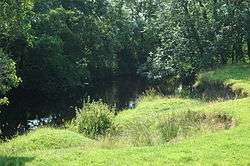 Bank of Cairn Water near Crossford | |
| Country | Scotland |
| Physical characteristics | |
| Main source | Moniaive |
| River mouth | 55°05′09″N 3°37′01″W / 55.08586°N 3.616819°WCoordinates: 55°05′09″N 3°37′01″W / 55.08586°N 3.616819°W |
| Length | 11.5 miles (18.5 km) |
| Basin features | |
| River system | River Nith |
| Tributaries |
|
Cairn Water is a small river in Dumfries and Galloway, Scotland. The river, formed by the confluence of the Castlefern, Craigdarroch and Dalquhat, flows for 11.5 miles (18.5 km) southeast to the Cluden.[1]
The Castlefairn is joined by the Craigdarroch and then by the Dalwhat, both from its left, just below the village of Moniaive in the parish of Glencairn. The confluence of these streams forms the Cairn Water. The parish is named for the river valley. The river flows east past Kirkland, then southeast to Newtonairds, where it is joined by the Old Water to form Cluden Water. Cluden Water flows east and southeast to join the River Nith just north of Dumfries.[2] The river once defined part of the boundary between Dumfriesshire to the east and Kirkcudbrightshire to the west.[3]
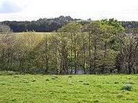 River flanked by trees on either bank
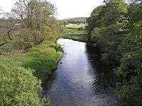 Looking upstream from Dalgonar Bridge
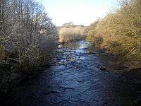 Near Stepford
References
- ↑ John Bartholomew, ed. (1887). Gazetteer of the British isles: statistical and topographical. A. and C. Black. p. 124.
- ↑ "Cairn Water - Dumfries and Galloway". Explore Britain. Retrieved 2012-02-14.
- ↑ The Topographical, statistical, and historical gazetteer of Scotland: with a complete county-atlas from recent surveys, exhibiting all the lines of road, rail, and canal communication; and an appendix, containing the results of the census of 1851. 1. A. Fullarton. 1853. p. 353.