Brokenborough
| Brokenborough | |
|---|---|
_(geograph_4085852).jpg) St John the Baptist parish church | |
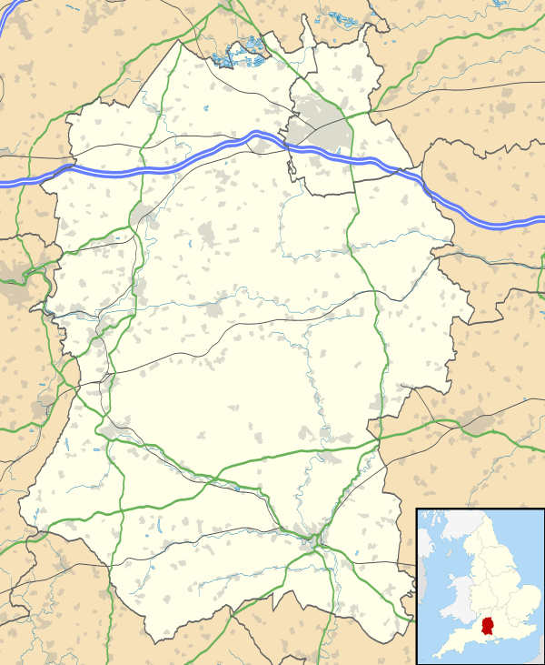 Brokenborough Brokenborough shown within Wiltshire | |
| Population | 190 (2011 Census) |
| OS grid reference | ST918892 |
| Civil parish |
|
| Unitary authority | |
| Ceremonial county | |
| Region | |
| Country | England |
| Sovereign state | United Kingdom |
| Post town | Malmesbury |
| Postcode district | SN16 |
| Dialling code | 01666 |
| Police | Wiltshire |
| Fire | Dorset and Wiltshire |
| Ambulance | South Western |
| EU Parliament | South West England |
| UK Parliament | |
Brokenborough is a village and civil parish about 1 1⁄2 miles (2.4 km) northwest of Malmesbury, Wiltshire in England. The course of the Fosse Way Roman road forms the northwest boundary of the parish, and also the county boundary with neighbouring Gloucestershire. The Tetbury Avon, also called the Ingleburn, flows through the parish west of the village. The 2011 Census recorded the parish's population as 190.[1]
The name of Brokenborough may derive from a geographic descriptor meaning “broken hill” (Old English brocen = broken, uneven + Anglian berg = hill, barrow).[2][3] Alternatively it could mean "ruined fort", from Old English brocen = broken + burg = fort.[4]
The early history of Brokenborough is based on unreliable sources. The antiquarian John Leland (1503–1552) relates that Máel Dub (d. 675) came as a hermit to the area and started his monastic school in the shelter of a castle built by Dunwallo Mulmutius at Bladon or Bladow, called in Old English Ingelborne Castle.[5] King Æthelstan (r. 924 – 939) is said to have resided in a royal palace in Brokenborough, close to this site.[3]
The Domesday Book records that in 1086 Malmesbury Abbey held a large estate of 50 hides at Brokenborough. In the 11th and 12th centuries the abbey claimed it had held it since AD 956.[6]
The Church of England parish church of St John the Baptist is 13th-century and has a four-bay north aisle.[7] The building was restored in 1883 and is Grade II* listed.[8]
The Great Barn at Brokenborough Farm, just south of the village, has 10 bays, nine cruck trusses,[6] two porches[7] and is probably 14th-century. It too is a Grade II* listed building.[9] There was a farm with an even larger barn on a moated site somewhat further south, but it was demolished in the 17th century.[6]
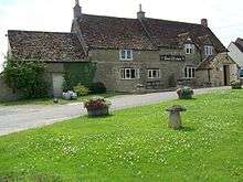
Brokenborough has a pub, the Horse Guards.
References
- ↑ "Area: Brokenborough (Parish): Key Figures for 2011 Census: Key Statistics". Neighbourhood Statistics. Office for National Statistics. Retrieved 14 August 2015.
- ↑ http://kepn.nottingham.ac.uk/map/place/Wiltshire/Brokenborough
- 1 2 "Brokenborough". Wiltshire Community History. Wiltshire Council. Retrieved 5 September 2018.
- ↑ Clark Hall, J.R, 1960, A Concise Anglo-Saxon Dictionary, 4th ed., Cambridge University Press.
- ↑ Dictionary of National Biography, 1885-1900, accessed via https://en.wikisource.org/wiki/Maildulf_%28DNB00%29 on 1.September 2018
- 1 2 3 Crowley et al. 1991, pp. 25–35.
- 1 2 Pevsner & Cherry 1975, p. 148.
- ↑ Historic England. "Church of St John Baptist (Grade II*) (1198567)". National Heritage List for England. Retrieved 14 August 2015.
- ↑ Historic England. "Great Barn to the south west of Brokenborough Farmhouse (Grade II*) (1283777)". National Heritage List for England. Retrieved 14 August 2015.
Sources
- Crowley, DA (ed.); Baggs, AP; Freeman, Jane; Stevenson, Janet H (1991). A History of the County of Wiltshire. Victoria County History. 14: Malmesbury hundred. London: Oxford University Press for the University of London Institute of Historical Research. pp. 25–35. ISBN 978-0197227794.
- Pevsner, Nikolaus; Cherry, Bridget (revision) (1975) [1963]. Wiltshire. The Buildings of England (2nd ed.). Harmondsworth: Penguin Books. p. 148. ISBN 0-14-0710-26-4.
External links
![]()