Bourn Airfield
| Bourn Airport | |||||||||||||||
|---|---|---|---|---|---|---|---|---|---|---|---|---|---|---|---|
| Summary | |||||||||||||||
| Airport type | Private | ||||||||||||||
| Operator | Rural Flying Corps | ||||||||||||||
| Location | Cambridge | ||||||||||||||
| Elevation AMSL | 226 ft / 69 m | ||||||||||||||
| Coordinates | 52°12′38″N 000°02′33″W / 52.21056°N 0.04250°WCoordinates: 52°12′38″N 000°02′33″W / 52.21056°N 0.04250°W | ||||||||||||||
| Website | www.rfcbourn.flyer.co.uk | ||||||||||||||
| Map | |||||||||||||||
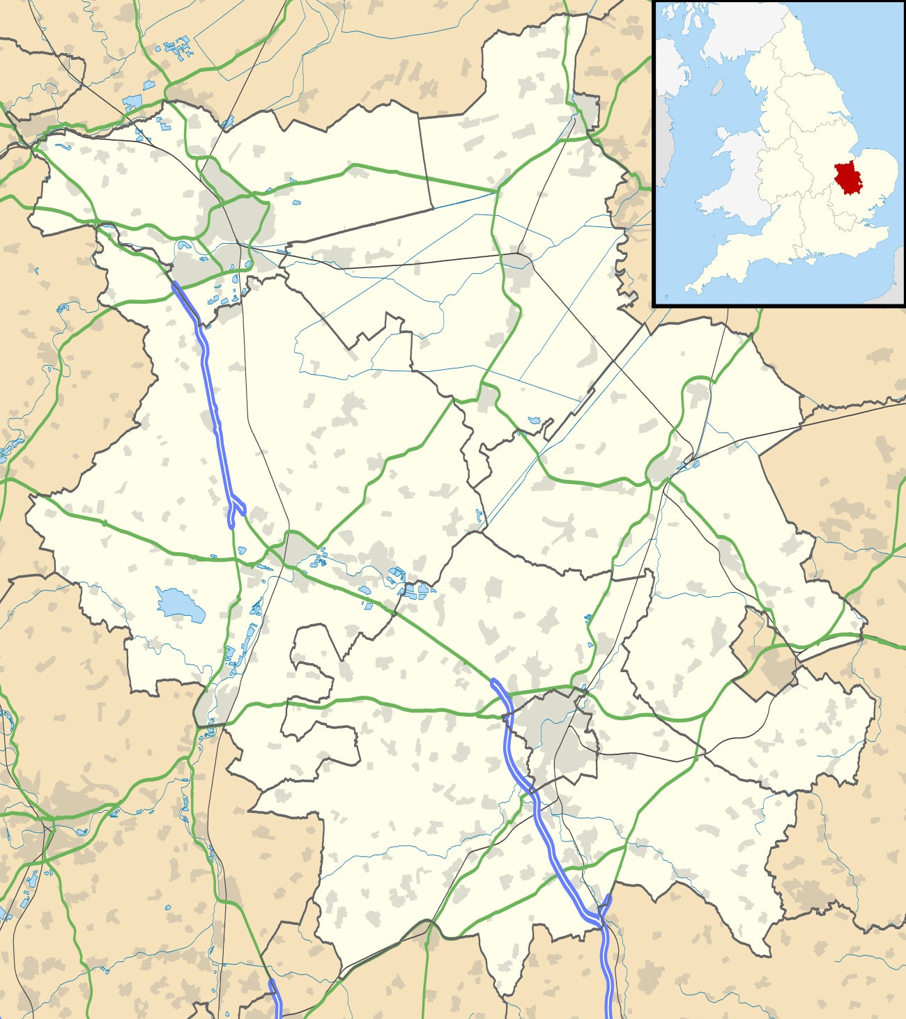 EGSN Location in Cambridgeshire | |||||||||||||||
| Runways | |||||||||||||||
| |||||||||||||||
Bourn Airport (IATA: n/a, ICAO: EGSN) is located 7 NM (13 km; 8.1 mi) west of Cambridge, Cambridgeshire, England. The airfield was originally constructed during World War II as RAF Bourn and was principally used as a base for heavy bombers - Wellingtons, Stirlings and Lancasters were all based at Bourn at one time or another. Nowadays, the airfield is used for recreational use, and flight training has been provided by the Bourn Rural Flying Corps for in excess of 30 years.
References
- ↑ Bourn - EGSN entry from 2004 hosted at Rural Flying Corps site
External links
This article is issued from
Wikipedia.
The text is licensed under Creative Commons - Attribution - Sharealike.
Additional terms may apply for the media files.