Borynia, Turka Raion
| Borynia Бориня | ||
|---|---|---|
| ||
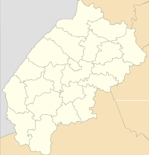 Borynia Location of Borynia | ||
| Coordinates: 49°04′40″N 22°59′43″E / 49.07778°N 22.99528°ECoordinates: 49°04′40″N 22°59′43″E / 49.07778°N 22.99528°E | ||
| Country Oblast Raion |
| |
| Area | ||
| • Total | 2,5 km2 (10 sq mi) | |
| Population (2013) | ||
| • Total | 1,443 | |
| Area code(s) | +380 3269 | |
| Website | смт Бориня (Ukrainian) | |

Borynia (Ukrainian: Бо́риня) is an urban-type settlement in Turka Raion, Lviv Oblast (region) of western Ukraine along the flow of the Stryi River. Remotely 145 kilometres (90 mi) from the city of Lviv,[1] 106 kilometres (66 mi) from Uzhhorod, and 14 kilometres (8.7 mi) from Turka. Local government — Borynska settlement council.[2] Population: 1,443 (2013 est.)[3].
The main occupation of the population is agriculture and forestry.
The first written mention of the settlement dates back to 1552.[4] In 1870 a treasure of Roman coins from Emperor Trajan times, were discovered in Borynia.
Notes
- ↑ DELLA
- ↑ Borynska settlement council Archived December 10, 2014, at the Wayback Machine.
- ↑ "Чисельність наявного населення України (Actual population of Ukraine)" (in Ukrainian). State Statistics Service of Ukraine. Retrieved 21 January 2015.
- ↑ "Słownik geograficzny Królestwa Polskiego i innych krajów słowiańskich - wynik wyszukiwania - DIR". dir.icm.edu.pl. Retrieved 2014-05-19.
References
- weather.in.ua
- Карпатський народ (in Ukrainian)
Literature
- Ukrainian: Історія міст і сіл УРСР : Львівська область. – К. : ГРУРЕ, 1968 р.
| Cities | ||
|---|---|---|
| Urban-type settlements | ||
| Villages |
| |
This article is issued from
Wikipedia.
The text is licensed under Creative Commons - Attribution - Sharealike.
Additional terms may apply for the media files.