Bendugu, Sierra Leone
| Bendugu | |
|---|---|
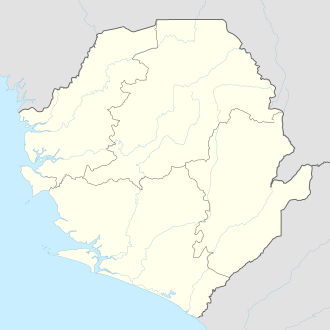 Bendugu Location in Sierra Leone | |
| Coordinates: 8°37′N 11°10′W / 8.617°N 11.167°WCoordinates: 8°37′N 11°10′W / 8.617°N 11.167°W | |
| Country |
|
| Province | Northern Province |
| District | Falaba District |
| Time zone | UTC-5 (GMT) |
Bendugu is the capital and largest town of Falaba District in the Northern Province of Sierra Leone. Bendugu is a very rural town and is also the seat of Mongo Chiefdom. Bendugu is located within close proximity to the international border with the Republic of Guinea. Bendugu is about 80 miles to Kabala, and is about 280 miles from Freetown. The main economic activity in the town is farming.
The vast majority of the population of Bendugu are from the Kuranko and Yalunka ethnic groups. The overwhelming majority of the residents of Bendugu are Muslims, with a very small Christian minority.
This article is issued from
Wikipedia.
The text is licensed under Creative Commons - Attribution - Sharealike.
Additional terms may apply for the media files.