Bemanonga
| Bemanonga | |
|---|---|
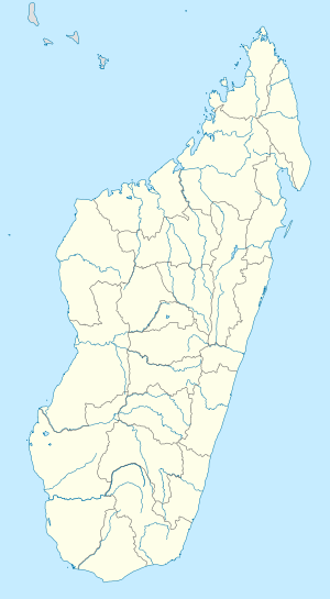 Bemanonga Location in Madagascar | |
| Coordinates: 20°17′S 44°21′E / 20.283°S 44.350°E | |
| Country |
|
| Region | Menabe |
| District | Morondava |
| Elevation[1] | 10 m (30 ft) |
| Population (2001)[2] | |
| • Total | 22,000 |
| Time zone | UTC3 (EAT) |
Bemanonga is a town and commune (Malagasy: kaominina) in Madagascar. It belongs to the district of Morondava, which is a part of Menabe Region. The population of the commune was estimated to be approximately 22,000 in 2001 commune census.[2]
Primary and junior level secondary education are available in town. The majority 52% of the population of the commune are farmers, while an additional 8% receives their livelihood from raising livestock. The most important crop is rice, while other important products are peanuts and lima beans. Industry and services provide employment for 7% and 3% of the population, respectively. Additionally fishing employs 30% of the population.[2]
The Andranomena Wildlifer Reserve is situated in the territory of the commune of Bemanonga.
References and notes
- ↑ Estimated based on DEM data from Shuttle Radar Topography Mission
- 1 2 3 "ILO census data". Cornell University. 2002. Retrieved 2008-03-11.
| Belo sur Tsiribihina | 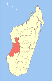 | |
|---|---|---|
| Mahabo | ||
| Manja | ||
| Miandrivazo | ||
| Morondava | ||
Coordinates: 20°17′S 44°21′E / 20.283°S 44.350°E