Belgrave, Leicester
| Belgrave | |
|---|---|
 | |
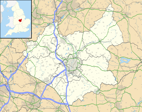 Belgrave Belgrave shown within Leicestershire | |
| Population | 10,297 |
| Unitary authority | |
| Ceremonial county | |
| Region | |
| Country | England |
| Sovereign state | United Kingdom |
| Post town | LEICESTER |
| Postcode district | LE4 |
| Dialling code | 0116 |
| Police | Leicestershire |
| Fire | Leicestershire |
| Ambulance | East Midlands |
| EU Parliament | East Midlands |
| UK Parliament | |

Belgrave is an electoral ward and administrative division of the city of Leicester, England, consisting of the Leicester suburb of Belgrave in its entirety.
The old Belgrave Village is on the Loughborough Road, to the west of the A46, known at that point as 'Melton Road'.
Geography
Belgrave is bounded by the wards of Rushey Mead to the north, Latimer to the south, Charnwood to the east and Abbey to the west.[1] It is located immediately north of the centre of Leicester, in the eastern part of the city.
Etymology
The settlement was named in the Domesday Book as Merdegrave (from Old English mearð 'marten' + grāf 'grove'). However, after the Norman Conquest the first part of the name merde was taken to be Old French 'dung' or 'shit', hence the people changed it to Old French beu, bel 'fair', 'lovely', in order to remove that unpleasant association.
History
One of the earliest mentions of this place is in the Domesday book where it is listed amongst the lands given to Hugh de Grandmesnil[2] by the King. The land consisted of a mill, 24 acres (97,000 m2) of meadow and land for 6 ploughs.
The name was used for the large 19th-century terraced developments along the A46 (Belgrave Road and then Melton Road). This area now has a large, vibrant Asian community featuring the "Golden Mile": a stretch of road a mile long so called due to its particularly high concentration of jewellery shops.[3] The Asian community based in and around Belgrave road have been residents since the early-1970s.
The Belgrave Hall area is a conservation area.[4]
Demographics
According to the 2001 UK Census, 104 Pacific Island-born people were residing in Belgrave, with many more being of Pacific Islander descent. This is the largest number for any location in the UK.[5]
Politics
Belgrave is located within the Leicester East parliamentary constituency, currently represented by Labour MP Keith Vaz.
Former Councillors for Belgrave include Archibald Berridge and Ramnik Kavia, both of whom served as Lord Mayors of Leicester, and Colin Hall, the city's Lord Mayor from 2010-11 and a resident of the area since 1968.
The Belgrave ward is currently represented on Leicester City Council by Labour Councillors Manjula Sood, John Thomas and Mansukhlal Chohan.
Gary Concepcion is the local Youth Councillor.
References
- ↑ Leicester City Council. "Ward Maps". Retrieved 2011-10-11.
- ↑ Domesday Book: A Complete Transliteration. London: Penguin, 2003. p. 653 ISBN 0-14-143994-7
- ↑ https://www.bbc.co.uk/news/uk-england-leicestershire-28722714
- ↑ Leicester Council Conservation areas
- ↑ Pacific Islanders in Belgrave
External links
- [http://news.bbc.co.uk/local/leicester/hi/people_and_places/history/newsid_9290000/9290940.stm Belgrave's first saree shop from BBC Radio Leicester
- grid reference SK592069