Baringhup
| Baringhup Victoria | |
|---|---|
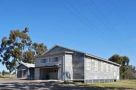 Baringhup Public Hall, 2011 | |
 Baringhup | |
| Coordinates | 36°58′59″S 143°58′19″E / 36.98306°S 143.97194°ECoordinates: 36°58′59″S 143°58′19″E / 36.98306°S 143.97194°E |
| Population | 205 (2016 census)[1] |
| Postcode(s) | 3444 |
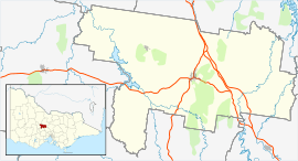
| Location |
|
| LGA(s) | Shire of Mount Alexander |
| State electorate(s) | Bendigo West |
| Federal Division(s) | Bendigo |
Baringhup is a locality in central Victoria, Australia. The locality is in the Shire of Mount Alexander, 96 kilometres (60 mi) north west of the state capital, Melbourne.
At the 2016 census, Baringhup had a population of 205.[1]
Baringhup has a general store (at the riverside caravan park) and a primary state school.
References
- 1 2 Australian Bureau of Statistics (27 June 2017). "Baringhup". 2016 Census QuickStats. Retrieved 4 August 2017.

External links
![]()
This article is issued from
Wikipedia.
The text is licensed under Creative Commons - Attribution - Sharealike.
Additional terms may apply for the media files.