Barangka
| Barangka | |
|---|---|
| Barangay | |
 Barangka | |
| Coordinates: 14°37′47″N 121°4′49″E / 14.62972°N 121.08028°ECoordinates: 14°37′47″N 121°4′49″E / 14.62972°N 121.08028°E | |
| Country | Philippines |
| Region | National Capital Region |
| City | Marikina |
| District | 1st Legislative district of Marikina |
| Government | |
| • Type | Barangay |
| • Barangay Captain | Efren Managuit |
| Population (2012) | |
| • Total | 29,776 |
| Time zone | UTC+8 (PST) |
| Postal Code | 1803 |
| Area code(s) | 02 |
Barangka is one of sixteen barangays in Marikina, Philippines and one of the barangays in 1st District of Marikina. It is also one of the oldest barangay founded in Marikina.
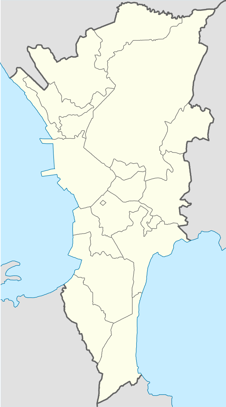
Barangka is the main passageway between Quezon City and Marikina, and a gateway between Quezon City and Rizal Province. It is located along southwestern border of Marikina, it is bordered on the west by Loyola Heights in Quezon City; to the south by Barangays Industrial Valley and Calumpang in Marikina; to the east by Barangay Tañong in Marikina; and to the north by Loyola Grand Villas.
On its south portion lies the Marikina River where the Marikina River Park and Riverbanks Center is located. Barangka is surrounded by universities, shopping malls, industrial zones and transportation hubs. Barangka is also accessible to major commercial and business areas, such as Araneta Center, Eastwood City and Katipunan Avenue in Quezon City via Aurora Boulevard, and Ortigas Center and Makati Central Business District via Marcos Highway-C5 Road Interchange.
History
Barangka takes its name from the Spanish word for "canyon", barranca, it means a steep or ravine. The area of Barangay Barangka is considered as one of the earliest historical origin of Marikina when the Augustinians and Jesuits arrived in the area called chorrillo, a small stream located in the area (now called Chorillo, a known street located in this barangay). Along with former Parang and Nangka, the former sitio was elevated to barangay by virtue of Republic Act No. 2601, which was enacted on June 21, 1959.
Geography
Barangka lies on the foot hills of Quezon City and also over the West Valley fault systems. The area has a total of 116.96 hectares and the population is 27,805, which as the most dense population in Marikina. On its south portion lies the Marikina River which located Riverbanks Center. It is located along western border of Marikina, it is bordered on the west by Loyola Heights in Quezon City; to the south by Barangays Industrial Valley and Calumpang in Marikina; to the east by Barangay Tañong in Marikina; and to the north by Loyola Grand Villas.
Miscellaneous


Villages and subdivisions
- Ateneo Housing
- Dela Costa Homes
- Landless Barangka
- Loyola Subdivision
- Loyola Grand Villas
- Urban Bliss
Community facilities
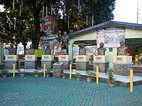
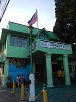
- Barangka Barangay Hall
- Barangka Health Center
- Barangka Multipurpose Hall
- Barangka Police Station
- Barangka Public Cemetery
- Dela Costa Homes Community Center
- Dela Costa Homes Basketball Gymnasium
- Urban Bliss Barangka Gymnasium
Landmarks and buildings
- Ateneo De Manila (Marikina side)
- Arrupe International Residences
- Center for Family Ministries
- San Jose Seminary
- Barangka Credit Cooperative Main Office
- Col. San Pascual Building
- Honda Cars Marikina
- Loyola Memorial Park
- Loyola Memorial Chapels and Crematorium
- Loyola Memorial Park Administration Building
- The Last Supper Memorial Monument
- Plaza De Las Flores
- Manila LRT Line 2
- Plaza Delos Kapitanes
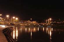
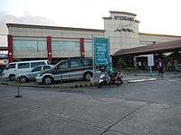
- Riverbanks Center
- Bonfire Grill
- Courtyard Dormtel
- E-Com Buildings (Main and Annex)
- ICT Building
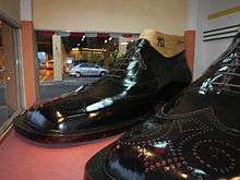
- Marikina's Largest Pair of Shoes in the World
- Marikina River Park
- Philippine Science Centrum
- Renaissance Convention Center
- Riverbanks Activity Area Open Building
- Riverbanks Amphitheater
- Riverbanks Arcade Building
- Riverbanks Development Corporation Main Office
- Riverbanks Mall Building
- Riverbanks North Triangle open area
- Riverbanks Plaza
- Riverbanks Station
- The Studio Building
Schools
- Barangka Elementary School
- Barangka National High School
- Marikina Disciple Church Christian School
- Mother of Angels School
- Providence Christian School
Churches
- Iglesia ni Cristo Local ng Barangka, Marikina West
- San Jose Manggagawa Parish
- Queen of Angels Chapel Riverbanks
Roads
Major roads
- Marcos Highway
- A. Bonifacio Avenue
- Riverbanks Avenue
- FVR Road (C5)
Primary streets
- General Julian Cruz (Chorillo) Street
- Lopez Jaena Street
- Paspasan Street
- Don Gonzalo Puyat Street
- Saint Joseph Street (Dela Costa Homes)
- Kabo Pio Street
- Dinar Street
- Joseph Street (Urban Bliss)
- F. Tuazon Street
- M. Gonzales Street
- M. Cruz Street
Bridges and overpasses
- Barangka Flyover
- Diosdado Macapagal Bridge
- Monte Vista Footbridge
- Marcos Bridge