Banua Wuhu
| Banua Wuhu | |
|---|---|
 Banua Wuhu | |
| Highest point | |
| Elevation | −5 m (−16 ft) [1] |
| Coordinates | 3°08′16″N 125°29′26″E / 3.13778°N 125.49056°ECoordinates: 3°08′16″N 125°29′26″E / 3.13778°N 125.49056°E [1] |
| Geography | |
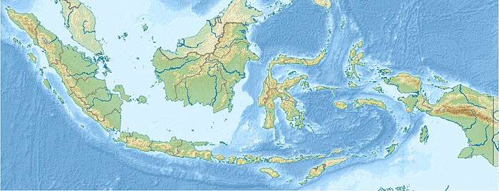
| Location | Sangihe Islands, Indonesia |
| Geology | |
| Mountain type | Submarine volcano, lava dome[1] |
| Last eruption | July to December 1919[1] |
Banua Wuhu submarine volcano rises more than 400 m from the sea floor in the Sangihe Islands of Indonesia. Historical records show that several ephemeral islands were formed and disappeared. A 90 m high island was formed in 1835, but then dwindled to only a few rocks in 1848. A new island was reportedly formed in 1889 and it was 50 m high in 1894. Another new island was formed in 1919 but then disappeared by 1935.[1]
See also
References
- 1 2 3 4 5 "Banua Wuhu". Global Volcanism Program. Smithsonian Institution. Retrieved 2017-03-03.
This article is issued from
Wikipedia.
The text is licensed under Creative Commons - Attribution - Sharealike.
Additional terms may apply for the media files.