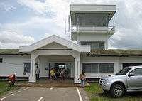
Ban Huoeisay Airport
| Ban Huoeisay Airport ສະໜາມບິນບໍ່ແກ້ວ | |||||||||||
|---|---|---|---|---|---|---|---|---|---|---|---|
 | |||||||||||
| Summary | |||||||||||
| Operator | Civil Government | ||||||||||
| Location | Ban Houayxay, Laos | ||||||||||
| Elevation AMSL | 1,380 ft / 421 m | ||||||||||
| Coordinates | 20°15′28″N 100°26′13″E / 20.25778°N 100.43694°ECoordinates: 20°15′28″N 100°26′13″E / 20.25778°N 100.43694°E | ||||||||||
| Map | |||||||||||
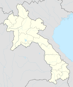 HOE Location of airport in Laos | |||||||||||
| Runways | |||||||||||
| |||||||||||
Ban Huoeisay Airport (Lao: ສະໜາມບິນບໍ່ແກ້ວ, Vietnamese: Sân bay Ban Huoeisay) (IATA: HOE, ICAO: VLHS) is an airport in Ban Houayxay, Laos. Alternative spellings are Ban Houayxay Airport, Ban Houei Sai Airport and Ban Huay Xai Airport.
Airlines and destinations
| Airlines | Destinations |
|---|---|
| Lao Skyway | -Vientiane |
Accidents and incidents
- On 30 June 1971, Douglas C-47B XW-TDI of Lao Airlines was written off in an accident at Ban Huoeisay Airport.[4][5]
References
- ↑ Airport information for VLHS at World Aero Data. Data current as of October 2006.
- ↑ Airport information for HOE at Great Circle Mapper.
- ↑ Accident history for VLHS / HOE at Aviation Safety Network
- ↑ "XW-TDI Accident description". Aviation Safety Network. Retrieved 19 September 2010.
- ↑ "Xray Whiskey Registration File". Thomas E Lee. Retrieved 27 September 2010.
This article is issued from
Wikipedia.
The text is licensed under Creative Commons - Attribution - Sharealike.
Additional terms may apply for the media files.